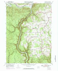
1946 Map of Tiadaghton
USGS Topo · Published 1984About this map
Pine Creek Gorge dominates this mid-century landscape, where the deeply carved canyon floor carries the Penn Central railroad through a wilderness of high ridges and narrow hollows. In the 1940s, life centered around the scattered settlements of Ansonia, Olmsville, and Tiadaghton, while the heights of the gorge were preserved within Colton Point State Park. The map reveals a high-plateau economy of small farms and remote outposts, notably at Sherman School and the Middle Ridge Church.
Find a feature on this map
54 named features on this map. Tap any name to fly to it.
Don’t see what you’re looking for? This feature index may not catch every label — zoom into the map to look around manually.
Map Details
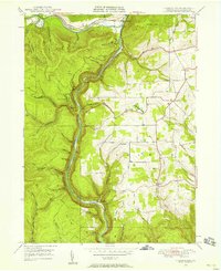
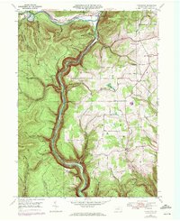
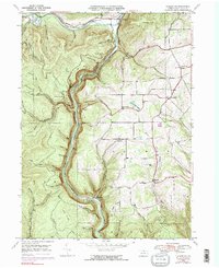
Editions of this 1946 Tiadaghton Map
5 editions found
Other maps of this area

1899 · Gaines
USGS Topo · 1:62,500

1900 · Gaines
USGS Topo · 1:62,500

1900 · Elkland
USGS Topo · 1:62,500

1946 · Tiadaghton
USGS Topo · 1:24,000

1946 · Antrim
USGS Topo · 1:62,500

1946 · Cedar Run
USGS Topo · 1:24,000

1946 · Antrim
USGS Topo · 1:24,000

1946 · Morris
USGS Topo · 1:24,000

1947 · Galeton
USGS Topo · 1:62,500

1947 · Lee Fire Tower
USGS Topo · 1:24,000
Featured Places
- Morris Township, PA
- Gaines Township, PA
- Tiadaghton, Delmar Township
- Delmar Township, PA
- Elk Township, PA