
1946 Map of Tiadaghton
USGS Topo · Published 1946About this map
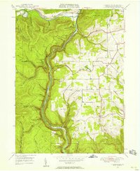
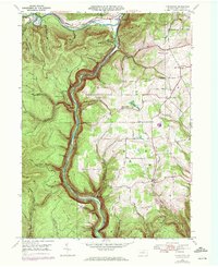
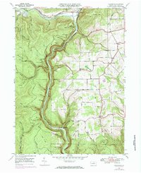
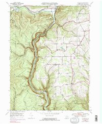
Pine Creek Gorge dominates this landscape, carved deeply between the plateaus of Shippen and Delmar townships. The New York Central railroad tracks follow the winding floor of the canyon, tracing the path of Pine Creek past isolated points like Owassee and Stone. The uplands show a more settled pattern, with the Middle Ridge Ch and Sherman Sch serving rural communities east of the gorge. The dramatic elevation change between the canyon floor and lookouts such as Barbour Rock and Harrison Lookout highlights the area's geological character. Significant local sites include Colton Point Park and the settlement of Ansonia at the confluence of Marsh Creek and Pine Creek. Genealogists may find interest in the Olmsville Cem near the small community of Olmsville, while the names of numerous local branches and runs, such as O'Connor Branch and Painter Run, reflect the complex drainage system into the gorge.
Find a feature on this map
57 named features on this map. Tap any name to fly to it.
Don’t see what you’re looking for? This feature index may not catch every label — zoom into the map to look around manually.
Map Details
Editions of this 1946 Tiadaghton Map
5 editions found
Other maps of this area

1899 · Gaines
USGS Topo · 1:62,500

1900 · Gaines
USGS Topo · 1:62,500

1900 · Elkland
USGS Topo · 1:62,500

1946 · Antrim
USGS Topo · 1:62,500

1946 · Cedar Run
USGS Topo · 1:24,000

1946 · Antrim
USGS Topo · 1:24,000

1946 · Morris
USGS Topo · 1:24,000

1947 · Galeton
USGS Topo · 1:62,500

1947 · Lee Fire Tower
USGS Topo · 1:24,000

1947 · Marshlands
USGS Topo · 1:24,000
Featured Places
- Morris Township, PA
- Gaines Township, PA
- Tiadaghton, Delmar Township
- Delmar Township, PA
- Elk Township, PA