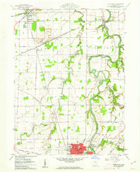
1960 Map of Tiffin North
USGS Topo · Published 1962About this map
The Sandusky River carves a winding path through the heart of this Seneca County landscape, defining the character of Pleasant and Clinton townships in the early 1960s. The northern reaches of Tiffin anchor the map, showing the city's infrastructure including the State Hospital, Tiffin Airfield, and the Radio Towers (WTTF). Industrial footprints are prominent near Maple Grove where several large Quarry sites sit adjacent to the Pennsylvania and New York Chicago and St Louis railroads.
Find a feature on this map
48 named features on this map. Tap any name to fly to it.
Don’t see what you’re looking for? This feature index may not catch every label — zoom into the map to look around manually.
Map Details
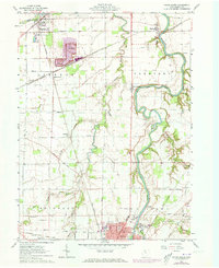
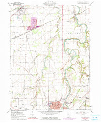
Editions of this 1960 Tiffin North Map
Other maps of this area

1901 · Fostoria
USGS Topo · 1:62,500

1901 · Fremont
USGS Topo · 1:62,500

1901 · Elmore
USGS Topo · 1:62,500

1903 · Fremont
USGS Topo · 1:62,500

1903 · Fostoria
USGS Topo · 1:62,500

1903 · Elmore
USGS Topo · 1:62,500

1906 · Tiffin
USGS Topo · 1:62,500

1956 · Toledo
USGS Topo · 1:250,000

1958 · Fremont West
USGS Topo · 1:24,000
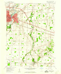
1958 · Fremont East
USGS Topo · 1:24,000