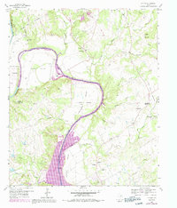
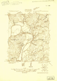
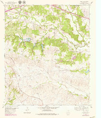
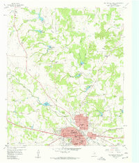
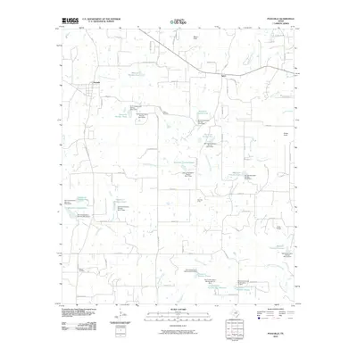
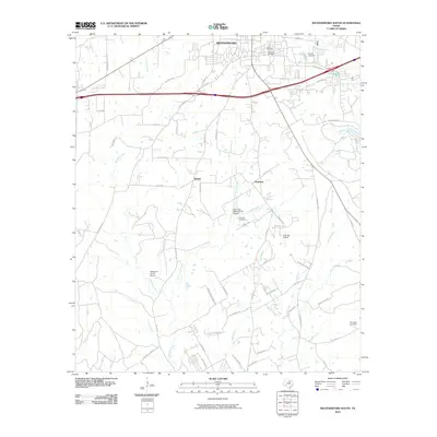
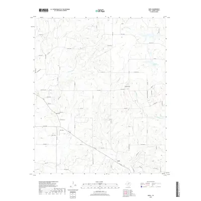
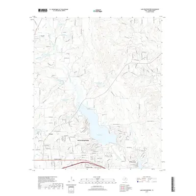
1959 Map of Tin Top
USGS Topo · Published 1992About this map
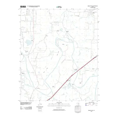
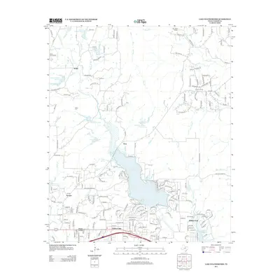
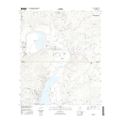
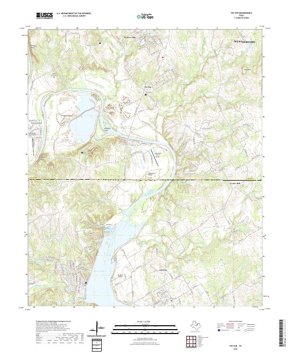
Lake Granbury and the meandering Brazos River dominate this landscape on the Parker and Hood County line, where the river carves through Blair Valley and Hightower Valley. The map, reflecting a late 1950s base with 1970s updates, captures the rural character of the region through small settlements like Tin Top and Fairview. Genealogists and local historians can locate several family and community landmarks, including New Prospect Ch, Temple Hall Ch, and Horseshoe Bend Cem.
Find a feature on this map
44 named features on this map. Tap any name to fly to it.
Don’t see what you’re looking for? This feature index may not catch every label — zoom into the map to look around manually.
Map Details
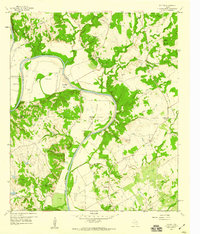
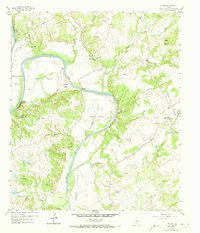
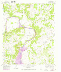
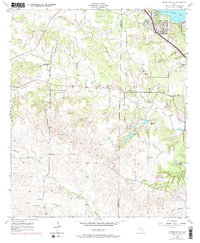
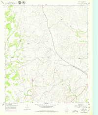
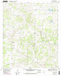
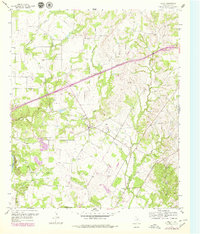
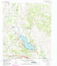
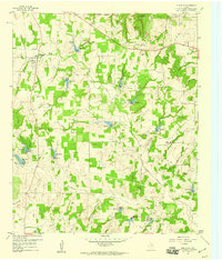
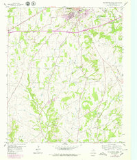
Editions of this 1959 Tin Top Map
4 editions found
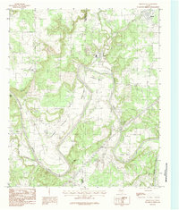
Historical Maps of Tin Top Through Time
62 maps found
1924 Weatherford 3-d
Parker County, TX
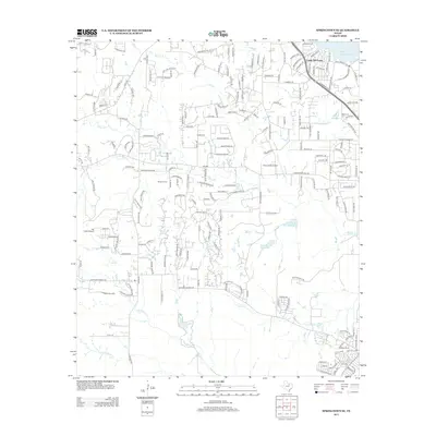
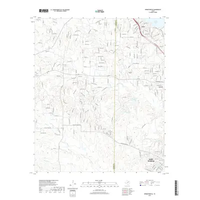
1955 Springtown SE
Parker County, TX
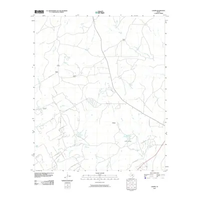
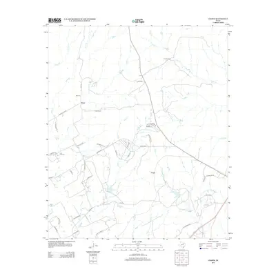
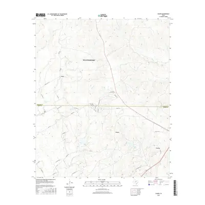
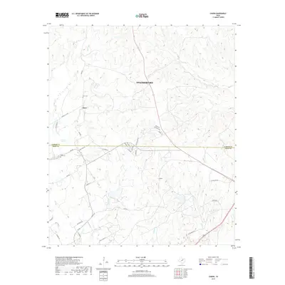
1958 Chapin
Parker County, TX
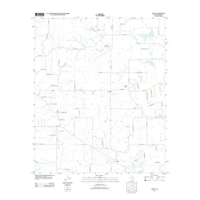
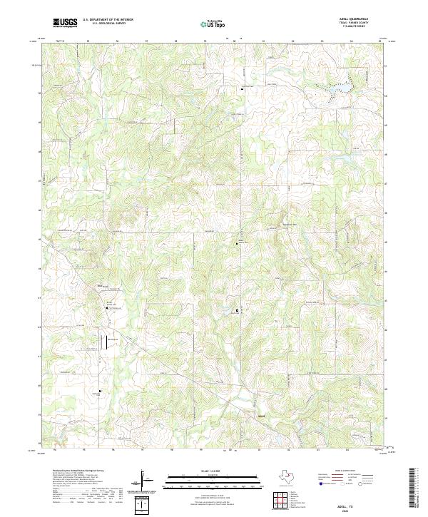
1959 Adell
Parker County, TX
1959 Anneta
Parker County, TX
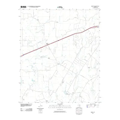
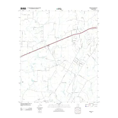
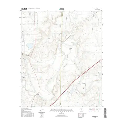
1959 Brock
Parker County, TX
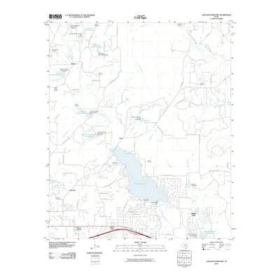
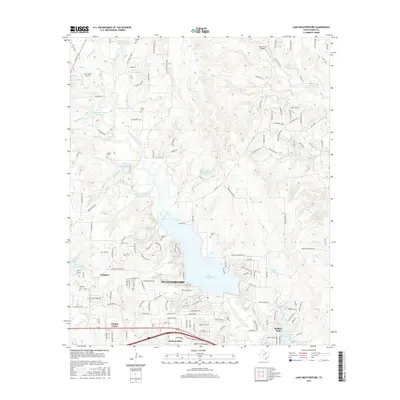
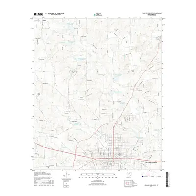
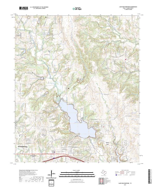
1959 Lake Weatherford
Parker County, TX
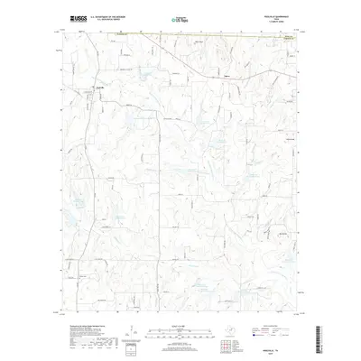
1959 Poolville
Parker County, TX
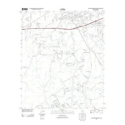
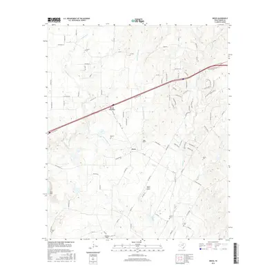
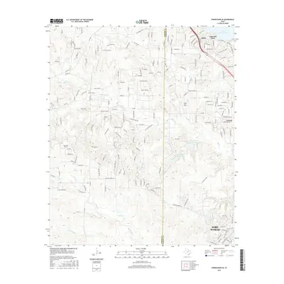
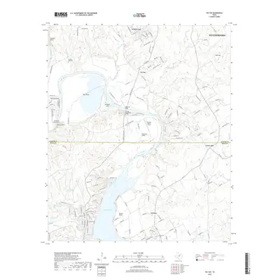
1959 Tin Top
Parker County, TX
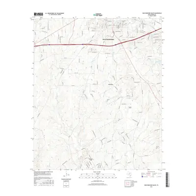
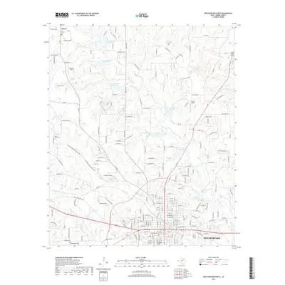
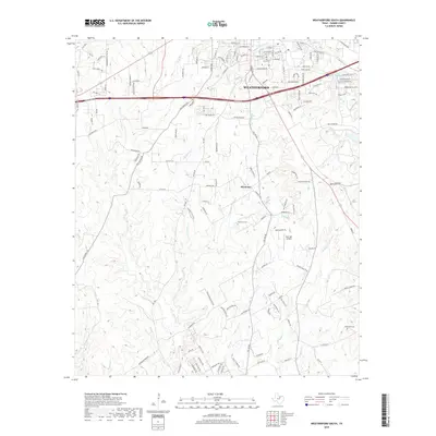
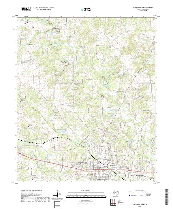
1959 Weatherford North
Parker County, TX
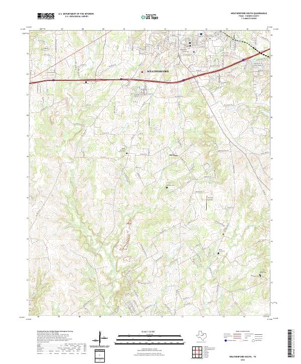
1959 Weatherford South
Parker County, TX
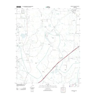
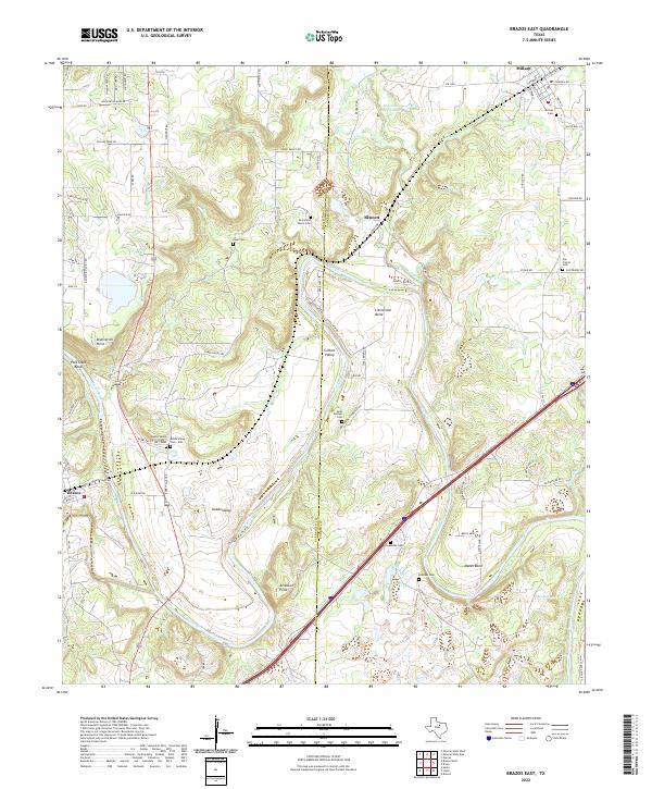
1984 Brazos East
Parker County, TX
2010 Adell
Parker County, TX
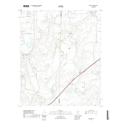
2010 Brazos East
Parker County, TX
2010 Brock
Parker County, TX
2010 Chapin
Parker County, TX
2010 Lake Weatherford
Parker County, TX
2010 Poolville
Parker County, TX
2010 Springtown SE
Parker County, TX
2010 Tin Top
Parker County, TX
2010 Weatherford North
Parker County, TX
2010 Weatherford South
Parker County, TX
2012 Adell
Parker County, TX
2012 Brazos East
Parker County, TX
2012 Brock
Parker County, TX
2012 Lake Weatherford
Parker County, TX
2012 Poolville
Parker County, TX
2012 Tin Top
Parker County, TX
2012 Weatherford North
Parker County, TX
2012 Weatherford South
Parker County, TX
2013 Chapin
Parker County, TX
2013 Springtown SE
Parker County, TX

2016 Adell
Parker County, TX
2016 Brazos East
Parker County, TX
2016 Brock
Parker County, TX
2016 Chapin
Parker County, TX
2016 Lake Weatherford
Parker County, TX
2016 Poolville
Parker County, TX
2016 Springtown SE
Parker County, TX
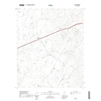
2016 Tin Top
Parker County, TX
2016 Weatherford North
Parker County, TX
2016 Weatherford South
Parker County, TX
2019 Adell
Parker County, TX
2019 Brazos East
Parker County, TX
2019 Brock
Parker County, TX
2019 Chapin
Parker County, TX
2019 Lake Weatherford
Parker County, TX
2019 Poolville
Parker County, TX
2019 Springtown SE
Parker County, TX
2019 Tin Top
Parker County, TX
2019 Weatherford North
Parker County, TX
2019 Weatherford South
Parker County, TX
2022 Adell
Parker County, TX
2022 Brazos East
Parker County, TX
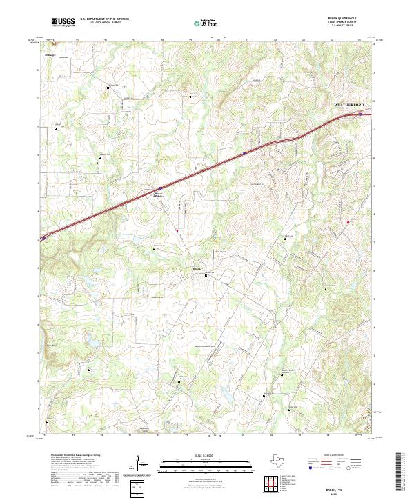
2022 Brock
Parker County, TX
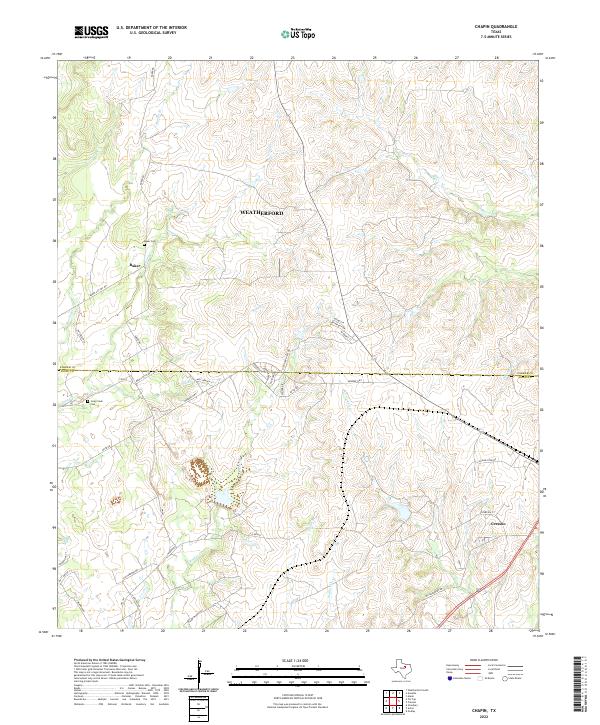
2022 Chapin
Parker County, TX
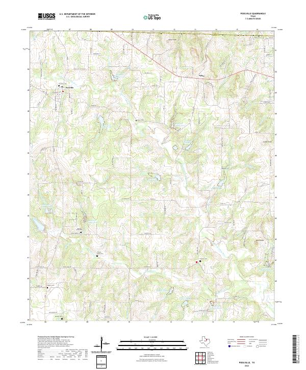
2022 Poolville
Parker County, TX
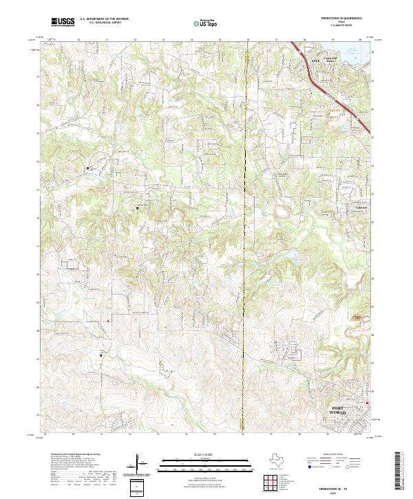
2022 Springtown SE
Parker County, TX
2022 Tin Top
Parker County, TX
2022 Weatherford North
Parker County, TX
2022 Weatherford South
Parker County, TX
2023 Lake Weatherford
Parker County, TX