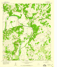
1959 Map of Tin Top
USGS Topo · Published 1960About this map
The Brazos River carves a winding path through the borderlands of Parker and Hood counties, creating prominent geographic features like Horseshoe Bend and the wide expanse of Blair Valley. This mid-century landscape is defined by its small community centers and rural congregations, including Tin Top and Fairview, where local life centered around the New Prospect Ch and Fairview Ch. The topography reveals a mix of fertile river bottoms and high bluffs, with Hightower Valley and Peveler Valley framed by elevation points like Nebo Mountain. Small-scale industry and infrastructure are evident through scattered Gravel Pits and the Hightower Bridge crossing. For those researching local lineages, the map identifies specific landmarks such as the Haring Cem and the Community Bldg, offering a clear look at the settlement patterns before modern suburban expansion changed the character of these riverside reaches.
Find a feature on this map
38 named features on this map. Tap any name to fly to it.
Don’t see what you’re looking for? This feature index may not catch every label — zoom into the map to look around manually.
Map Details
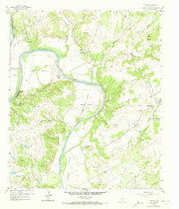
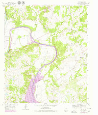
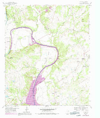
Editions of this 1959 Tin Top Map
4 editions found
Other maps of this area

1889 · Granbury
USGS Topo · 1:125,000

1891 · Weatherford
USGS Topo · 1:125,000

1893 · Weatherford
USGS Topo · 1:125,000

1923 · Granbury 2-a
USGS Topo · 1:48,000

1923 · Granbury 1-b
USGS Topo · 1:48,000

1924 · Weatherford 3-d
USGS Topo · 1:48,000

1928 · Godley
USGS Topo · 1:62,500

1931 · Dennis
USGS Topo · 1:62,500

1931 · Tolar
USGS Topo · 1:62,500

1954 · Dallas
USGS Topo · 1:250,000