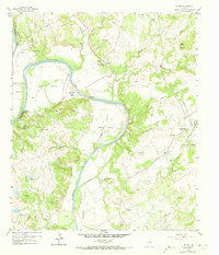
1959 Map of Tin Top
USGS Topo · Published 1973About this map
The Brazos River creates a dramatic series of loops through the Parker and Hood County line, most notably at the sharp turn of Horseshoe Bend. This 1959 field-checked landscape is defined by its deep alluvial valleys including Blair Valley, Hightower Valley, and Peveler Valley, which supported several small rural communities and church-centered settlements. Genealogists will find significant detail in the placement of New Prospect Ch, Fairview Ch, and Temple Hall Ch, alongside family-named landmarks like Cidwell and the Herring Cem.
Find a feature on this map
40 named features on this map. Tap any name to fly to it.
Don’t see what you’re looking for? This feature index may not catch every label — zoom into the map to look around manually.
Map Details
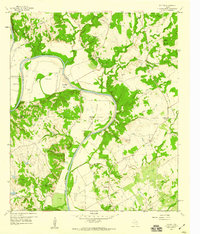
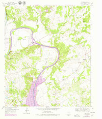
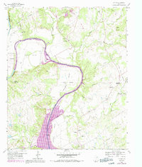
Editions of this 1959 Tin Top Map
4 editions found
Other maps of this area

1889 · Granbury
USGS Topo · 1:125,000

1891 · Weatherford
USGS Topo · 1:125,000

1893 · Weatherford
USGS Topo · 1:125,000

1923 · Granbury 2-a
USGS Topo · 1:48,000

1923 · Granbury 1-b
USGS Topo · 1:48,000

1924 · Weatherford 3-d
USGS Topo · 1:48,000

1928 · Godley
USGS Topo · 1:62,500

1931 · Dennis
USGS Topo · 1:62,500

1931 · Tolar
USGS Topo · 1:62,500

1954 · Dallas
USGS Topo · 1:250,000