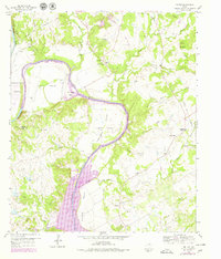
1959 Map of Tin Top
USGS Topo · Published 1979About this map
The Brazos River carves a dramatic path through this section of the Texas landscape, dominated by the serpentine waters of Lake Granbury and the prominent loop of Horseshoe Bend. The 1979 revision of this 1959 survey reveals a rural territory transitioning with the development of the reservoir, yet maintaining its historic character through established settlements like Tin Top and Fairview. Genealogists will find significant value in the distribution of community landmarks, including New Prospect Ch, Fairview Ch, and several family or local burial grounds such as Irby Cem and the Hering Cem. The map illustrates a complex drainage network where Sanchez Creek and Long Creek feed into the river valley, set against the relief of Nebo Mountain and the distinct lowlands of Blair Valley and Hightower Valley.
Find a feature on this map
41 named features on this map. Tap any name to fly to it.
Don’t see what you’re looking for? This feature index may not catch every label — zoom into the map to look around manually.
Map Details
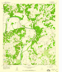
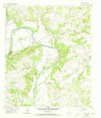
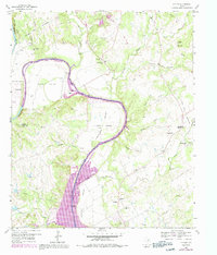
Editions of this 1959 Tin Top Map
4 editions found
Other maps of this area

1889 · Granbury
USGS Topo · 1:125,000

1891 · Weatherford
USGS Topo · 1:125,000

1893 · Weatherford
USGS Topo · 1:125,000

1923 · Granbury 2-a
USGS Topo · 1:48,000

1923 · Granbury 1-b
USGS Topo · 1:48,000

1924 · Weatherford 3-d
USGS Topo · 1:48,000

1928 · Godley
USGS Topo · 1:62,500

1931 · Dennis
USGS Topo · 1:62,500

1931 · Tolar
USGS Topo · 1:62,500

1954 · Dallas
USGS Topo · 1:250,000