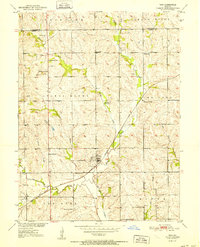
1952 Map of Tina
USGS Topo · Published 1952About this map
Tina serves as the central hub of this agricultural landscape in Carroll County, situated where the Chicago Burlington And Quincy railroad cuts through the prairie. The settlement pattern is defined by a dense network of rural infrastructure, with numerous country schools like Ironclad Sch and North Star Sch located at regular intervals to serve the surrounding farmsteads. The terrain is marked by distinctive elevations such as Stokes Mound and Tater Hill, while several creeks including Hurricane Creek and Stokes Mound Creek provide natural drainage through the rolling hills.
Find a feature on this map
31 named features on this map. Tap any name to fly to it.
Don’t see what you’re looking for? This feature index may not catch every label — zoom into the map to look around manually.
Map Details
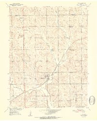
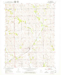
Editions of this 1952 Tina Map
3 editions found
Other maps of this area

1889 · Lexington
USGS Topo · 1:125,000

1890 · Marshall
USGS Topo · 1:125,000

1892 · Marshall
USGS Topo · 1:125,000

1901 · Marshall
USGS Topo · 1:125,000

1924 · Dawn
USGS Topo · 1:62,500

1924 · Hale
USGS Topo · 1:62,500

1950 · Coloma
USGS Topo · 1:24,000

1950 · Hale
USGS Topo · 1:24,000

1951 · Hale
USGS Topo · 1:24,000

1951 · Bosworth
USGS Topo · 1:24,000