
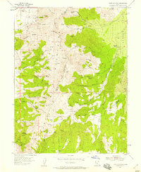
1954 Map of Tintic Mountain
USGS Topo · Published 1956About this map
The Tintic Mountains of central Utah reveal a landscape shaped by mineral extraction and high-desert ranching during the mid-1950s. High-altitude mining operations such as the Evelyn Mine, Rising Sun Mine, and Buckeye Mine cluster near the northern peaks, while the Tintic Chief Mine sits further south near Paul Bunyans Woodpile, a unique basalt geological formation. Settlement is sparse, represented by locations like Garbett and Hancock Ranch on the edge of Goshen Valley. The map detail shows a complex network of springs and canyons, including Jumpoff Spring and Furner Canyon, which provided critical water in this arid environment. Industrial infrastructure of the period is visible through the pipe line traversing the terrain and the Dennis Road connecting remote outposts like Dennis.
Find a feature on this map
62 named features on this map. Tap any name to fly to it.
Don’t see what you’re looking for? This feature index may not catch every label — zoom into the map to look around manually.
Map Details
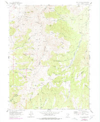
Editions of this 1954 Tintic Mountain Map
3 editions found
Other maps of this area

1885 · Manti
USGS Topo · 1:250,000

1885 · Sevier Desert
USGS Topo · 1:250,000

1895 · Manti
USGS Topo · 1:250,000

1949 · Eureka
USGS Topo · 1:24,000

1951 · Santaquin
USGS Topo · 1:62,500

1951 · Nephi
USGS Topo · 1:62,500

1953 · Delta
USGS Topo · 1:250,000

1954 · Mc Intyre
USGS Topo · 1:24,000

1954 · Tintic Junction
USGS Topo · 1:24,000
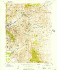
1954 · Eureka
USGS Topo · 1:24,000