
1922 Map of Tionesta
USGS Topo · Published 1953About this map
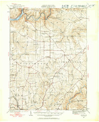
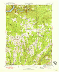
Tionesta serves as the focal point of this 1922 survey, situated at the confluence of the Allegheny River and Tionesta Creek. The map documents a landscape transitioning from the river-dependent economies of the 19th century toward the industrial era, marked by the lines of the Baltimore and Ohio and New York Central railroads. The northern reaches are dominated by the burgeoning Allegheny National Forest and a State Game Preserve, reflecting a shift toward forest management.
Find a feature on this map
93 named features on this map. Tap any name to fly to it.
Don’t see what you’re looking for? This feature index may not catch every label — zoom into the map to look around manually.
Map Details
Editions of this 1922 Tionesta Map
Other maps of this area

1906 · Clarion
USGS Topo · 1:62,500

1907 · Clarion
USGS Topo · 1:62,500

1907 · Foxburg
USGS Topo · 1:62,500

1908 · Foxburg
USGS Topo · 1:62,500

1918 · Loleta
USGS Topo · 1:62,500

1922 · Oil City
USGS Topo · 1:48,000

1924 · Oil City
USGS Topo · 1:62,500

1924 · Tionesta
USGS Topo · 1:62,500

1924 · Brookville
USGS Topo · 1:62,500

1926 · Brookville
USGS Topo · 1:62,500