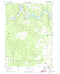
1967 Map of Tionesta
USGS Topo · Published 1973About this map
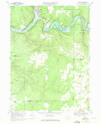
Tionesta Lake dominates this landscape, created by the Tionesta Dam which regulates the flow into the Allegheny River. The borough of Tionesta serves as the focal point of the region, situated where the Penn Central tracks trace the river's curve. The map documents an area defined by both its natural resources and its recreational value, including the Allegheny National Forest and Camp Tionesta.
Find a feature on this map
54 named features on this map. Tap any name to fly to it.
Don’t see what you’re looking for? This feature index may not catch every label — zoom into the map to look around manually.
Map Details
Editions of this 1967 Tionesta Map
2 editions found
Other maps of this area

1922 · Oil City
USGS Topo · 1:48,000

1922 · Tionesta
USGS Topo · 1:62,500

1924 · Oil City
USGS Topo · 1:62,500

1924 · Tionesta
USGS Topo · 1:62,500

1927 · Tidioute
USGS Topo · 1:48,000

1927 · Titusville
USGS Topo · 1:62,500

1930 · Tidioute
USGS Topo · 1:62,500

1933 · Titusville
USGS Topo · 1:62,500

1943 · Oil City
USGS Topo · 1:62,500

1946 · Tionesta
USGS Topo · 1:62,500