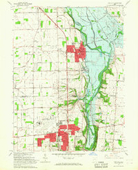
1965 Map of Tipp City
USGS Topo · Published 1967About this map
The Great Miami River valley defines the central corridor of this mid-1960s survey, showing the expansion of Tipp City and Vandalia during a period of significant regional growth. The landscape is a mix of traditional agriculture and modern aviation infrastructure, anchored by the Dayton Municipal Airport in the south. Aviation-related features like the Control Tower and Filtration Plant stand near growing residential blocks, while smaller hamlets like Ginghamsburg and West Charleston maintain their distinct rural footprints.
Find a feature on this map
61 named features on this map. Tap any name to fly to it.
Don’t see what you’re looking for? This feature index may not catch every label — zoom into the map to look around manually.
Map Details
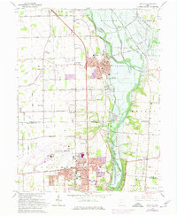
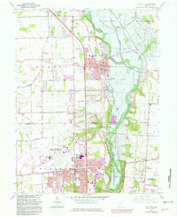
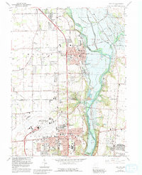
Editions of this 1965 Tipp City Map
4 editions found
Other maps of this area

1904 · Dayton
USGS Topo · 1:62,500

1905 · Brookville
USGS Topo · 1:62,500

1906 · Dayton
USGS Topo · 1:62,500

1911 · Covington
USGS Topo · 1:62,500

1914 · Troy
USGS Topo · 1:62,500

1944 · Covington
USGS Topo · 1:62,500

1944 · Troy
USGS Topo · 1:62,500

1953 · Cincinnati
USGS Topo · 1:250,000

1953 · Muncie
USGS Topo · 1:250,000

1955 · West Milton
USGS Topo · 1:24,000