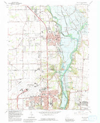
1965 Map of Tipp City
USGS Topo · Published 1992About this map
The Great Miami River flows southward through this mid-1960s landscape, serving as the central artery for settlements like Tipp City and Vandalia. The corridor reflects a transition toward modern infrastructure, dominated by the expanding James M Cox-Dayton International Airport in the south. Traces of the region's 19th-century history remain visible through the Canal and Old Canal remnants that parallel the river, once vital for the local economy before the rise of the modern highway system. Local genealogy and community life are grounded in numerous small landmarks, from the Gospel Lighthouse Ch to family-named burial grounds like the Pearson Cem and Barbara English Cem. The map captures a moment when mid-century leisure and utility coexisted, featuring a Drive-in Theater and Camp Chaffee alongside industrial elements like the Taylorsville Dam and various Gravel Pits.
Find a feature on this map
76 named features on this map. Tap any name to fly to it.
Don’t see what you’re looking for? This feature index may not catch every label — zoom into the map to look around manually.
Map Details
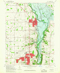
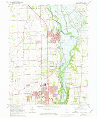
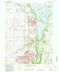
Editions of this 1965 Tipp City Map
4 editions found
Other maps of this area

1904 · Dayton
USGS Topo · 1:62,500

1905 · Brookville
USGS Topo · 1:62,500

1906 · Dayton
USGS Topo · 1:62,500

1911 · Covington
USGS Topo · 1:62,500

1914 · Troy
USGS Topo · 1:62,500

1944 · Covington
USGS Topo · 1:62,500

1944 · Troy
USGS Topo · 1:62,500

1953 · Cincinnati
USGS Topo · 1:250,000

1953 · Muncie
USGS Topo · 1:250,000

1955 · West Milton
USGS Topo · 1:24,000