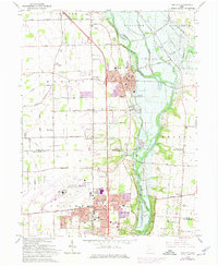
1965 Map of Tipp City
USGS Topo · Published 1975About this map
The Great Miami River valley serves as the primary corridor for development and infrastructure on this mid-century survey, with Tipp City positioned as the central hub. Traces of the region's industrial past are visible in the path of the Old Canal and active Gravel Pits along the riverbanks. To the south, the expansive Dayton Municipal Airport signals the era's shift toward aviation, while the Taylorsville Dam and surrounding Miami Conservancy District reflect significant regional water management efforts.
Find a feature on this map
67 named features on this map. Tap any name to fly to it.
Don’t see what you’re looking for? This feature index may not catch every label — zoom into the map to look around manually.
Map Details
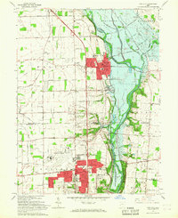
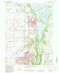
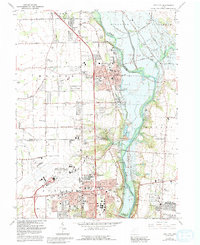
Editions of this 1965 Tipp City Map
4 editions found
Other maps of this area

1904 · Dayton
USGS Topo · 1:62,500

1905 · Brookville
USGS Topo · 1:62,500

1906 · Dayton
USGS Topo · 1:62,500

1911 · Covington
USGS Topo · 1:62,500

1914 · Troy
USGS Topo · 1:62,500

1944 · Covington
USGS Topo · 1:62,500

1944 · Troy
USGS Topo · 1:62,500

1953 · Cincinnati
USGS Topo · 1:250,000

1953 · Muncie
USGS Topo · 1:250,000

1955 · West Milton
USGS Topo · 1:24,000