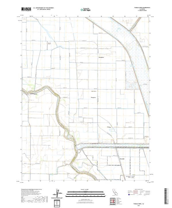
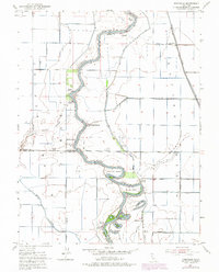
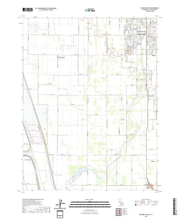
2021 Map of Tisdale Weir
USGS Topo · Published 2021About this map
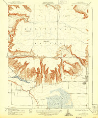
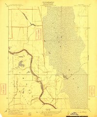
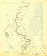
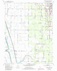
The Sacramento River carves a winding path through the fertile lowlands of the Sacramento Valley, defining the border between Sutter and Colusa counties. This landscape is a masterclass in modern water management, dominated by the expansive Sutter Basin and an intricate network of flood control structures like the Sutter By-Pass and the Tisdale By-Pass. These bypasses, alongside the Wadsworth Canal and East Canal, redirect seasonal flows to protect the surrounding agricultural tracts.
Find a feature on this map
66 named features on this map. Tap any name to fly to it.
Don’t see what you’re looking for? This feature index may not catch every label — zoom into the map to look around manually.
Map Details
Editions of this 2021 Tisdale Weir Map
This is the sole edition of this map. No revisions or reprints were ever made.
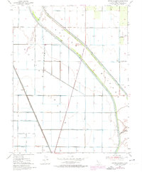
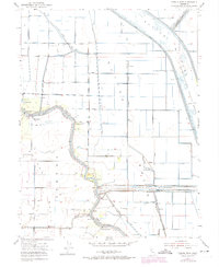
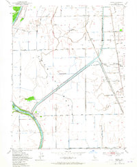
Historical Maps of Tisdale Through Time
20 maps found
1910 Marcuse
Sutter County, CA
1910 Vernon
Sutter County, CA
1911 Gilsizer Slough
Sutter County, CA
1912 Marysville Buttes
Sutter County, CA
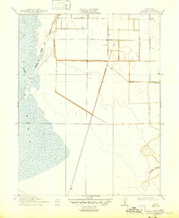
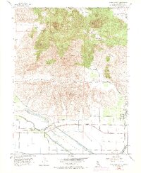
1912 Tisdale Weir
Sutter County, CA
1915 Kirkville
Sutter County, CA
1952 Gilsizer Slough
Sutter County, CA
1952 Kirkville
Sutter County, CA
1952 Sutter Causeway
Sutter County, CA
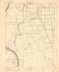
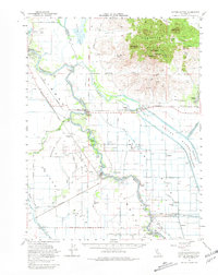
1952 Tisdale Weir
Sutter County, CA
1952 Verona
Sutter County, CA
1954 Sutter Buttes
Sutter County, CA
1954 Sutter Buttes
Sutter County, CA
1967 Verona
Sutter County, CA

2021 Sutter Buttes
Sutter County, CA
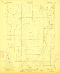
2021 Tisdale Weir
Sutter County, CA
2022 Gilsizer Slough
Sutter County, CA
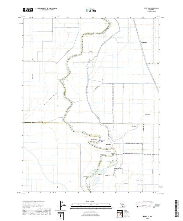
2022 Kirkville
Sutter County, CA
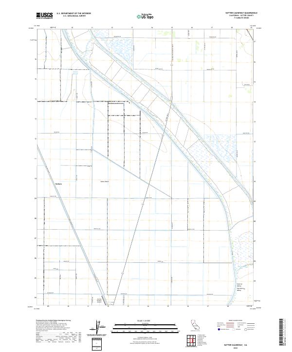
2022 Sutter Causeway
Sutter County, CA
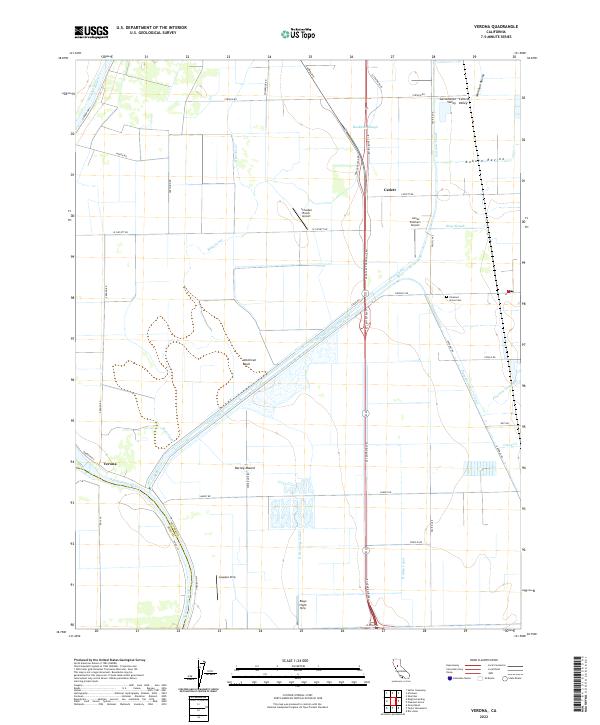
2022 Verona
Sutter County, CA