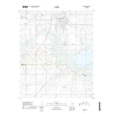
2018 Map of Tishomingo
USGS Topo · Published 2018About this map
Tishomingo serves as the central hub of this Johnston County landscape, situated at the confluence of several key waterways and travel routes. The town's grid extends toward Pennington Creek, while the broader terrain is defined by the winding course of the Washita River and the high ground of Teller Mtn. This survey captures a mix of established community infrastructure and rural expanses, including aviation sites like the Tishomingo Airpark and McDaniel Aviation. Local genealogy and land history are well-preserved through numerous burial grounds, including Tishomingo Cem, Shady Grove Cem, Teller Cem, and Linn Cem. The presence of Muel Lakes and several smaller drainages like Whisky Cr and Bell Creek illustrate the complex hydrology that influenced settlement patterns and agriculture across the southern Oklahoma plains.
Find a feature on this map
68 named features on this map. Tap any name to fly to it.
Don’t see what you’re looking for? This feature index may not catch every label — zoom into the map to look around manually.
Map Details
Editions of this 2018 Tishomingo Map
This is the sole edition of this map. No revisions or reprints were ever made.
Other maps of this area

1901 · Tishomingo
USGS Topo · 1:125,000

1957 · Ardmore
USGS Topo · 1:250,000

1963 · Ardmore
USGS Topo · 1:250,000

1963 · Madill
USGS Topo · 1:24,000

1963 · Troy
USGS Topo · 1:24,000

1963 · Ravia
USGS Topo · 1:24,000
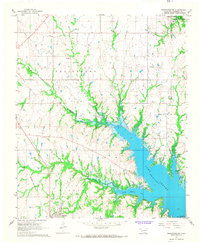
1967 · Tishomingo SW
USGS Topo · 1:24,000

1967 · Connerville SE
USGS Topo · 1:24,000

1967 · Tishomingo
USGS Topo · 1:24,000
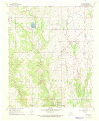
1967 · Reagan
USGS Topo · 1:24,000