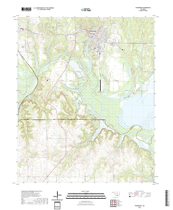
2022 Map of Tishomingo
USGS Topo · Published 2022About this map
Tishomingo serves as the focal point of this 2022 survey, positioned at the edge of the Washita River basin. As the Johnston County seat, the town's administrative heart is anchored by the Johnston County Courthouse, while its educational landscape is defined by the Murray State College campus. The surrounding countryside reveals a dense network of water systems, including Pennington Creek and Big Sandy Creek, which feed into the extensive wetlands and inlets of the river valley.
Find a feature on this map
88 named features on this map. Tap any name to fly to it.
Don’t see what you’re looking for? This feature index may not catch every label — zoom into the map to look around manually.
Map Details
Editions of this 2022 Tishomingo Map
This is the sole edition of this map. No revisions or reprints were ever made.
Other maps of this area
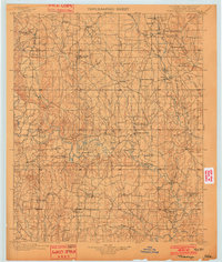
1901 · Tishomingo
USGS Topo · 1:125,000

1957 · Ardmore
USGS Topo · 1:250,000
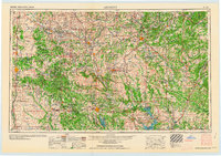
1963 · Ardmore
USGS Topo · 1:250,000
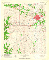
1963 · Madill
USGS Topo · 1:24,000
1963 · Troy
USGS Topo · 1:24,000
1963 · Ravia
USGS Topo · 1:24,000
1967 · Tishomingo SW
USGS Topo · 1:24,000
1967 · Connerville SE
USGS Topo · 1:24,000
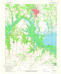
1967 · Tishomingo
USGS Topo · 1:24,000
1967 · Reagan
USGS Topo · 1:24,000