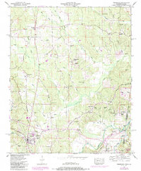
1950 Map of Tishomingo
USGS Topo · Published 1986About this map
Tishomingo sits at a geographic crossroads in the mid-20th century, defined by the winding course of the Natchez Trace Parkway and the topographic boundary of the Tennessee Valley Divide. This 1950 survey, updated in the early 1980s, reveals a rural landscape deeply connected to its creeks and small communities. To the east, the state line between Mississippi and Alabama cuts through the rugged hills of the Thomas Wildlife Management Area, where Bear Creek and Cedar Creek dominate the drainage. Local life is anchored by numerous small congregations and burial grounds, such as Boggs Chapel, Mt Olive Church, and Nunley Cem. The map provides specific industrial and utility details from the era, including the Jackson Spr Pumping sta and an Oil Well Spring near Pennywinkle Creek. Evidence of early transit and commemorative history is seen in the Natchez Trace and the Natchez Trace Mon near Petertown.
Find a feature on this map
54 named features on this map. Tap any name to fly to it.
Don’t see what you’re looking for? This feature index may not catch every label — zoom into the map to look around manually.
Map Details
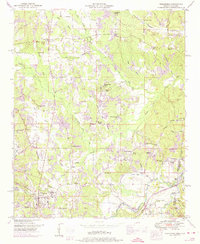
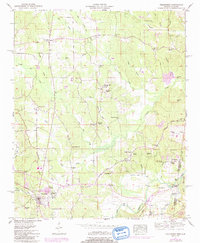
Editions of this 1950 Tishomingo Map
3 editions found
Other maps of this area

1911 · Iuka
USGS Topo · 1:48,000

1914 · Iuka
USGS Topo · 1:62,500

1935 · Holcut
USGS Topo · 1:24,000

1935 · Iuka
USGS Topo · 1:24,000

1935 · Leedy
USGS Topo · 1:24,000

1935 · Pleasant Site
USGS Topo · 1:24,000

1936 · Margerum
USGS Topo · 1:24,000

1936 · Belmont
USGS Topo · 1:24,000

1936 · Bishop
USGS Topo · 1:24,000

1936 · Tishomingo
USGS Topo · 1:24,000