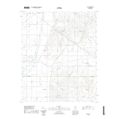
2020 Map of Tocowa
USGS Topo · Published 2020About this map
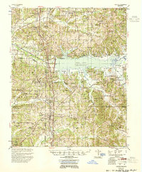
The Little Tallahatchie River and the Yocona River define the hydraulic landscape of this region, where the flat bottomlands meet the rising hills of north-central Mississippi. Near the confluence areas, the Old Yocona River remains visible as a legacy of natural waterway shifts or engineering, while the Rayburn Bayou drains the western margins. The small community of Tocowa serves as a central point in an area otherwise characterized by rural homesteads and family-named landmarks.
Find a feature on this map
67 named features on this map. Tap any name to fly to it.
Don’t see what you’re looking for? This feature index may not catch every label — zoom into the map to look around manually.
Map Details
Editions of this 2020 Tocowa Map
This is the sole edition of this map. No revisions or reprints were ever made.
Other maps of this area
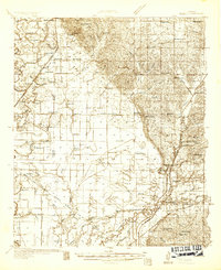
1932 · Sledge
USGS Topo · 1:48,000
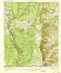
1935 · Crowder
USGS Topo · 1:62,500
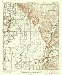
1935 · Sledge
USGS Topo · 1:62,500
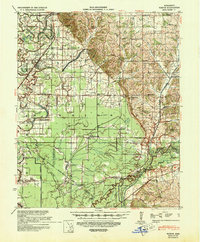
1939 · Sledge
USGS Topo · 1:62,500
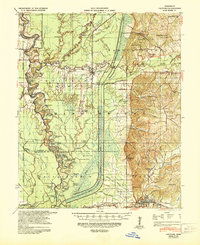
1939 · Crowder
USGS Topo · 1:62,500

1948 · Helena
USGS Topo · 1:250,000

1950 · Helena
USGS Topo · 1:250,000
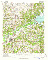
1952 · Sardis
USGS Topo · 1:62,500
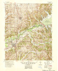
1953 · Sardis
USGS Topo · 1:62,500
1954 · Oakland
USGS Topo · 1:62,500