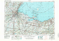
1956 Map of Toledo
USGS Topo · Published 1979About this map
The industrial and maritime heart of Northwest Ohio is centered around Toledo, where the Maumee River empties into Maumee Bay. This post-war era reveals a dense network of transit, including the newly established Ohio Turnpike cutting across the landscape and major rail lines like the New York Central and Nickel Plate Road serving the lakefront. To the east, the map details the recreation and military presence along the shoreline, from the long-standing military reservation at Camp Perry to the sprawling Ottawa National Wildlife Refuge.
Find a feature on this map
90 named features on this map. Tap any name to fly to it.
Don’t see what you’re looking for? This feature index may not catch every label — zoom into the map to look around manually.
Map Details
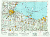
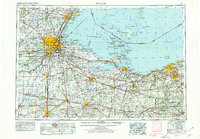
Editions of this 1956 Toledo Map
4 editions found

Other maps of this area

1900 · Maumee Bay
USGS Topo · 1:62,500

1900 · Toledo
USGS Topo · 1:62,500

1900 · Oak Harbor
USGS Topo · 1:62,500

1901 · Oberlin
USGS Topo · 1:62,500

1901 · Put-In-Bay
USGS Topo · 1:62,500

1901 · Bellevue
USGS Topo · 1:62,500

1901 · Fostoria
USGS Topo · 1:62,500

1901 · Bowling Green
USGS Topo · 1:62,500

1901 · Fremont
USGS Topo · 1:62,500

1901 · Wooster
USGS Topo · 1:62,500