
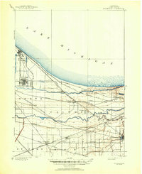
1900 Map of Toleston
USGS Topo · Published 1900About this map
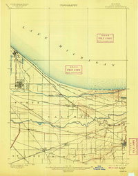
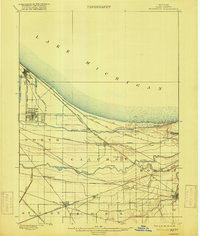
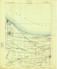
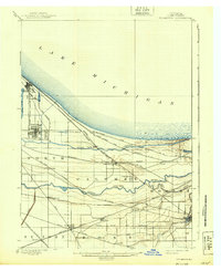
Whiting and East Chicago anchor the northwestern edge of this Lake County survey, showing a landscape defined by industrial expansion and complex hydrology just before the turn of the century. The region is a dense grid of competing transit lines, where the Chicago Terminal Transfer R. R. and the Elgin Joliet and Eastern R. R. cross marshlands between the southern shore of Lake Michigan and the winding paths of the Grand Calumet River and Little Calumet River. In the southeastern corner, Hobart sits at the junction of several rail lines, while smaller stops like Clarke Station, Hessville, and Ross serve as interior nodes in a rapidly developing corridor. The drainage of the low-lying terrain is evident through man-made interventions like Hart Ditch, illustrating the transformation of the Calumet wetlands into a major railway and manufacturing hub.
Find a feature on this map
34 named features on this map. Tap any name to fly to it.
Don’t see what you’re looking for? This feature index may not catch every label — zoom into the map to look around manually.
Map Details
Editions of this 1900 Toleston Map
6 editions found
Other maps of this area

1889 · Chicago
USGS Topo · 1:62,500

1891 · Chicago
USGS Topo · 1:62,500

1892 · Calumet
USGS Topo · 1:62,500

1893 · Calumet
USGS Topo · 1:62,500

1900 · Chicago
USGS Topo · 1:62,500

1900 · Calumet
USGS Topo · 1:62,500

1901 · Calumet
USGS Topo · 1:62,500

1901 · Chicago
USGS Topo · 1:62,500

1929 · Calumet Lake
USGS Topo · 1:24,000

1929 · Calumet City
USGS Topo · 1:24,000