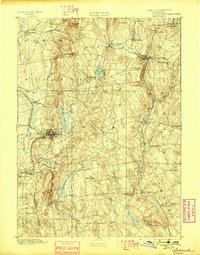
1892 Map of Tolland
USGS Topo · Published 1898About this map
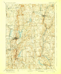
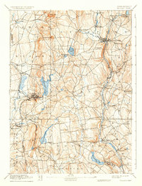
Industrial hubs and transit corridors define this late nineteenth-century landscape, anchored by the dense settlement at Rockville where the Rockville Branch met the local mills and reservoirs. The survey, conducted by Henry Gannett and Marcus Baker under Director J.W. Powell, illustrates a region deeply shaped by water power and rail access. Major water bodies like Shenipsit Lake and Wangumbaug Lake sit amidst a varied topography of named heights such as Soapstone Mtn. and Bald Hill. In the eastern corridor, the New London Northern RR tracks follow the Willimantic River through Stafford Springs and Mansfield Depot, highlighting the vital link between river-valley industry and the railroad. From the scattered homesteads around Tolland to the emerging village at Storrs, the map provides a clear picture of the area's transition into a more interconnected manufacturing and agricultural district.
Find a feature on this map
67 named features on this map. Tap any name to fly to it.
Don’t see what you’re looking for? This feature index may not catch every label — zoom into the map to look around manually.
Map Details
Editions of this 1892 Tolland Map
7 editions found
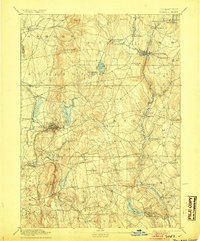
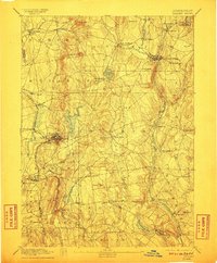
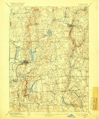
Other maps of this area

1886 · Springfield
USGS Topo · 1:62,500

1887 · Brookfield
USGS Topo · 1:62,500

1887 · Palmer
USGS Topo · 1:62,500

1889 · Springfield
USGS Topo · 1:62,500

1889 · Palmer
USGS Topo · 1:62,500

1890 · Brookfield
USGS Topo · 1:62,500

1892 · Hartford
USGS Topo · 1:62,500

1892 · Woodstock
USGS Topo · 1:62,500

1892 · Tolland
USGS Topo · 1:62,500

1892 · Norwich
USGS Topo · 1:62,500