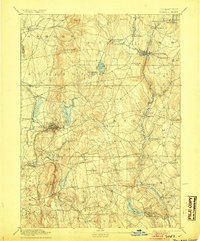
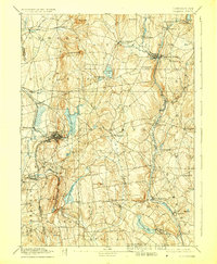
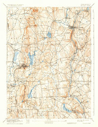
1892 Map of Tolland
USGS Topo · Published 1905About this map
The industrial and agricultural heart of eastern Connecticut is captured here during the late 19th century, surveyed by Marcus Baker and J.H. Jennings. The manufacturing center of Rockville stands as a focal point, its development shaped by the waters of Shenipsit Lake and the Hockanum River. To the northeast, Stafford Springs serves as another vital hub, where the Central Vermont Railroad follows the valley floor.
Find a feature on this map
67 named features on this map. Tap any name to fly to it.
Don’t see what you’re looking for? This feature index may not catch every label — zoom into the map to look around manually.
Map Details
Editions of this 1892 Tolland Map
7 editions found
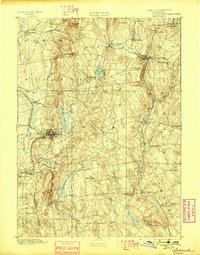
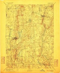
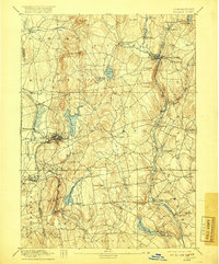
Other maps of this area

1886 · Springfield
USGS Topo · 1:62,500

1887 · Brookfield
USGS Topo · 1:62,500

1887 · Palmer
USGS Topo · 1:62,500

1889 · Springfield
USGS Topo · 1:62,500

1889 · Palmer
USGS Topo · 1:62,500

1890 · Brookfield
USGS Topo · 1:62,500

1892 · Hartford
USGS Topo · 1:62,500

1892 · Woodstock
USGS Topo · 1:62,500

1892 · Tolland
USGS Topo · 1:62,500

1892 · Norwich
USGS Topo · 1:62,500