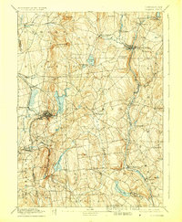
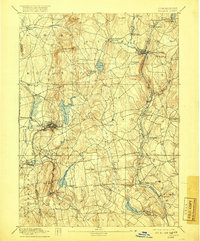
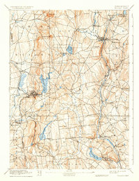
1892 Map of Tolland
USGS Topo · Published 1928About this map
The industrial and agricultural corridors of northeastern Connecticut are clearly defined in this late 19th-century survey. The Willimantic River valley serves as a primary artery for both water power and rail transit, with the Central Vermont RR threading through settlements like Stafford Springs and Mansfield Depot. These rail connections were vital for the mills and granite quarries that once flourished in the region, particularly near Rockville and the Shenipsit Lake area.
Find a feature on this map
68 named features on this map. Tap any name to fly to it.
Don’t see what you’re looking for? This feature index may not catch every label — zoom into the map to look around manually.
Map Details
Editions of this 1892 Tolland Map
7 editions found
Other maps of this area

1886 · Springfield
USGS Topo · 1:62,500

1887 · Brookfield
USGS Topo · 1:62,500

1887 · Palmer
USGS Topo · 1:62,500

1889 · Springfield
USGS Topo · 1:62,500

1889 · Palmer
USGS Topo · 1:62,500

1890 · Brookfield
USGS Topo · 1:62,500

1892 · Hartford
USGS Topo · 1:62,500

1892 · Woodstock
USGS Topo · 1:62,500

1892 · Tolland
USGS Topo · 1:62,500

1892 · Norwich
USGS Topo · 1:62,500