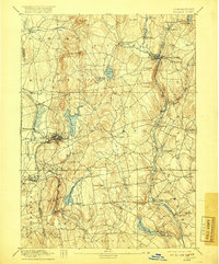
1892 Map of Tolland
USGS Topo · Published 1918About this map
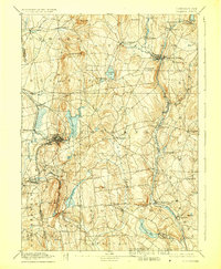
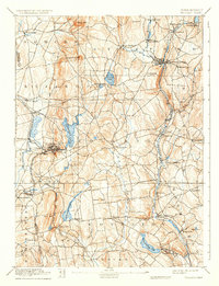
Stafford Springs and Rockville emerge as the primary industrial and commercial hubs in this late 19th-century survey of northeastern Connecticut. The landscape is defined by its water resources and complex rail networks, including the Central Vermont RR following the Willimantic River valley and the New York & New England RR serving the western manufacturing centers. Large water bodies such as Shenipsit Lake and Crystal Lake are surrounded by numerous small mill villages and agricultural settlements like Ellington, Somers, and South Coventry.
Find a feature on this map
65 named features on this map. Tap any name to fly to it.
Don’t see what you’re looking for? This feature index may not catch every label — zoom into the map to look around manually.
Map Details
Editions of this 1892 Tolland Map
7 editions found
Other maps of this area

1886 · Springfield
USGS Topo · 1:62,500

1887 · Brookfield
USGS Topo · 1:62,500

1887 · Palmer
USGS Topo · 1:62,500

1889 · Springfield
USGS Topo · 1:62,500

1889 · Palmer
USGS Topo · 1:62,500

1890 · Brookfield
USGS Topo · 1:62,500

1892 · Hartford
USGS Topo · 1:62,500

1892 · Woodstock
USGS Topo · 1:62,500

1892 · Tolland
USGS Topo · 1:62,500

1892 · Norwich
USGS Topo · 1:62,500