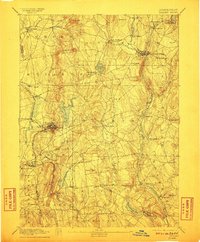
1892 Map of Tolland
USGS Topo · Published 1911About this map
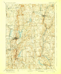
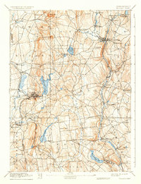
Rockville stands as a primary industrial hub in this late nineteenth-century survey, its development tethered to the Rockville Branch New York & New England RR and the Hockanum River. The landscape reveals a complex network of manufacturing centers and transit lines, from the busy Stafford Springs intersection on the London Northern Railroad to the smaller textile and milling hamlets of Talcottville and Eagleville. The survey captures a moment when the region's early rural character, represented by sites like Storrs and Somers, was increasingly integrated by rail connectivity.
Find a feature on this map
67 named features on this map. Tap any name to fly to it.
Don’t see what you’re looking for? This feature index may not catch every label — zoom into the map to look around manually.
Map Details
Editions of this 1892 Tolland Map
7 editions found
Other maps of this area

1886 · Springfield
USGS Topo · 1:62,500

1887 · Brookfield
USGS Topo · 1:62,500

1887 · Palmer
USGS Topo · 1:62,500

1889 · Springfield
USGS Topo · 1:62,500

1889 · Palmer
USGS Topo · 1:62,500

1890 · Brookfield
USGS Topo · 1:62,500

1892 · Hartford
USGS Topo · 1:62,500

1892 · Woodstock
USGS Topo · 1:62,500

1892 · Tolland
USGS Topo · 1:62,500

1892 · Norwich
USGS Topo · 1:62,500