
1892 Map of Tolland
USGS Topo · Published 1892About this map
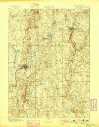
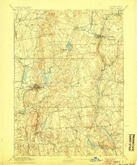
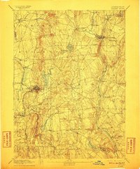
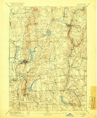
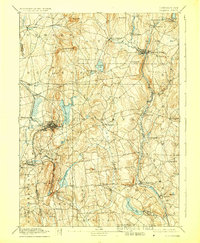
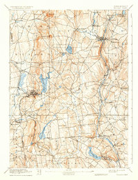
The industrial and agricultural centers of northern Connecticut are captured here in the late nineteenth century, dominated by the manufacturing hubs of Rockville and Stafford Springs. The map reveals a landscape defined by its water power, with the Shenipsit Lake reservoir and the Willimantic River driving local mills and settlements. In the south, Wangumbaug Lake anchors South Coventry, while the varied terrain features prominent elevations such as Soapstone Mtn and Box Mtn.
Find a feature on this map
62 named features on this map. Tap any name to fly to it.
Don’t see what you’re looking for? This feature index may not catch every label — zoom into the map to look around manually.
Map Details
Editions of this 1892 Tolland Map
7 editions found
Other maps of this area

1886 · Springfield
USGS Topo · 1:62,500

1887 · Brookfield
USGS Topo · 1:62,500

1887 · Palmer
USGS Topo · 1:62,500

1889 · Springfield
USGS Topo · 1:62,500

1889 · Palmer
USGS Topo · 1:62,500

1890 · Brookfield
USGS Topo · 1:62,500

1892 · Hartford
USGS Topo · 1:62,500

1892 · Woodstock
USGS Topo · 1:62,500

1892 · Norwich
USGS Topo · 1:62,500

1892 · Gilead
USGS Topo · 1:62,500