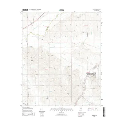
2015 Map of Tomnolen
USGS Topo · Published 2015About this map
Tomnolen and Wood Springs anchor this rural landscape in Webster and Choctaw Counties, where the land-use patterns are defined by the winding course of the Big Black River and the extensive Big Black River Canal. The topography is a complex network of ridges and drainages, notably carved by McCurtain Creek and Bywy Creek. The Natchez Trace Parkway and National Scenic Trail cuts through the southeastern corner, following the ancient corridor through the hills near Little Mountain. For the local historian, the map preserves the exact locations of numerous community hubs, including Providence Cemetery, Wood Springs Cemetery, and Chapel Hill Cemetery. The interplay between natural watercourses and man-made alterations like the Big Bywy Ditch reflects a long history of water management in these river bottomlands.
Find a feature on this map
73 named features on this map. Tap any name to fly to it.
Don’t see what you’re looking for? This feature index may not catch every label — zoom into the map to look around manually.
Map Details
Editions of this 2015 Tomnolen Map
This is the sole edition of this map. No revisions or reprints were ever made.
Other maps of this area

1953 · Walthall
USGS Topo · 1:62,500

1953 · West Point
USGS Topo · 1:250,000

1958 · West Point
USGS Topo · 1:250,000

1963 · West Point
USGS Topo · 1:250,000

1966 · Stewart
USGS Topo · 1:24,000

1966 · Weir
USGS Topo · 1:24,000

1966 · Tomnolen
USGS Topo · 1:24,000

1966 · French Camp
USGS Topo · 1:24,000

1968 · Weir
USGS Topo · 1:62,500

1972 · Sapa
USGS Topo · 1:24,000