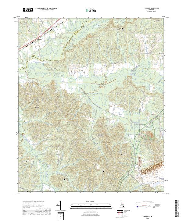
2024 Map of Tomnolen
USGS Topo · Published 2024About this map
Tomnolen and Wood Springs anchor this rural landscape in western Choctaw County, where the headwaters of numerous creeks feed into the Big Black River Canal. The terrain is characterized by a series of family-named landmarks and rural burial grounds, including the Bankston Cem and Hamrick Cem, which suggest generations of local residency in this forested region. The modern Natchez Trace Parkway bisects the southeastern corner, skirting Little Mtn and passing near Robinson Chapel. A complex network of waterways, such as Bywy Creek and its associated Big Bywy Ditch, illustrates the area's natural drainage and historical efforts to manage the wetlands. The concentration of rural sanctuaries, from Chapel Hill Methodist Church to Providence Church, points to a long-established community structure that remains visible today.
Find a feature on this map
82 named features on this map. Tap any name to fly to it.
Don’t see what you’re looking for? This feature index may not catch every label — zoom into the map to look around manually.
Map Details
Editions of this 2024 Tomnolen Map
This is the sole edition of this map. No revisions or reprints were ever made.
Other maps of this area

1953 · Walthall
USGS Topo · 1:62,500

1953 · West Point
USGS Topo · 1:250,000

1958 · West Point
USGS Topo · 1:250,000

1963 · West Point
USGS Topo · 1:250,000

1966 · Stewart
USGS Topo · 1:24,000

1966 · Weir
USGS Topo · 1:24,000

1966 · Tomnolen
USGS Topo · 1:24,000

1966 · French Camp
USGS Topo · 1:24,000

1968 · Weir
USGS Topo · 1:62,500

1972 · Sapa
USGS Topo · 1:24,000