
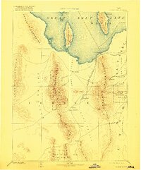
1885 Map of Tooele Valley
USGS Topo · Published 1885About this map
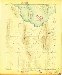
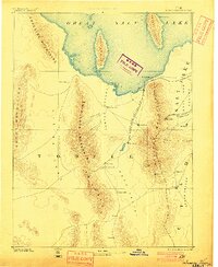
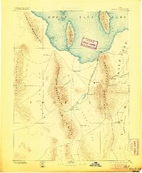
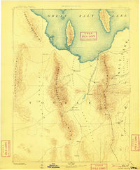
Tooele and Grantsville serve as primary anchors in this mid-1880s survey of the basins surrounding the southern reaches of the Great Salt Lake. The landscape is defined by the sharp verticality of the Oquirrh Mountains and Stansbury Mountains, which separate the pastoral and mining interests of Tooele Valley from the more isolated Skull Valley. Transportation and industrial development are centered on the Utah and Nevada R. R., which skirts the shoreline near Lake Point and Black Rock. The map illustrates a pivotal mining era, recording the early footprints of camps such as Ophir, Lewiston, and Bingham, alongside family-named landmarks like Fausts. The presence of St Johns, Fairfield, and Vernon highlights a network of small agricultural and freighting settlements established along the valley floors before the turn of the century.
Find a feature on this map
36 named features on this map. Tap any name to fly to it.
Don’t see what you’re looking for? This feature index may not catch every label — zoom into the map to look around manually.
Map Details
Editions of this 1885 Tooele Valley Map
6 editions found
Other maps of this area

1885 · Salt Lake
USGS Topo · 1:250,000

1885 · Manti
USGS Topo · 1:250,000

1885 · Sevier Desert
USGS Topo · 1:250,000

1895 · Manti
USGS Topo · 1:250,000

1908 · Fish Springs
USGS Topo · 1:250,000

1910 · Fish Springs
USGS Topo · 1:250,000

1915 · Fairfield
USGS Topo · 1:62,500

1917 · Fairfield
USGS Topo · 1:62,500

1918 · Stockton
USGS Topo · 1:62,500

1925 · Ft. Douglas
USGS Topo · 1:125,000