
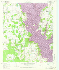
1960 Map of Tool
USGS Topo · Published 1961About this map
The Trinity River and its meandering bottomlands define the southwest corner of this East Texas survey, where the river serves as the boundary between Henderson and Navarro Counties. Northward, the landscape transitions into a network of small agricultural settlements and rural infrastructure centered around Cedar Creek and its tributaries like Prairie Creek and Lacey Fork. The community of Tool sits near the center of the map, surrounded by early-1960s rural landmarks including Providence and Aley.
Find a feature on this map
25 named features on this map. Tap any name to fly to it.
Don’t see what you’re looking for? This feature index may not catch every label — zoom into the map to look around manually.
Map Details
Editions of this 1960 Tool Map
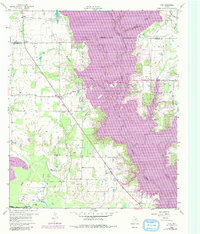
Other maps of this area

1920 · Kemp
USGS Topo · 1:62,500

1954 · Dallas
USGS Topo · 1:250,000

1957 · Kemp
USGS Topo · 1:62,500

1958 · Dallas
USGS Topo · 1:250,000

1960 · Mabank
USGS Topo · 1:24,000

1960 · Malakoff
USGS Topo · 1:24,000

1960 · Grays Prairie
USGS Topo · 1:24,000

1961 · Kemp
USGS Topo · 1:24,000

1961 · Kerens
USGS Topo · 1:24,000

1962 · Bazette
USGS Topo · 1:24,000