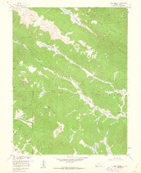
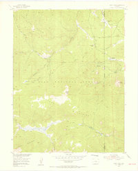
1958 Map of Topaz Mountain
USGS Topo · Published 1962About this map
The Kenosha Mountains and Tarryall Mountains dominate this high-elevation landscape within the Pike National Forest, where the headwaters of the Platte River system begin their descent. Small-scale mountain industry and seasonal ranching are evident at the Northup Lumber Camp and Lost Park Cow Camp, while an Old House near Gooseberry Creek suggests earlier pioneer habitation.
Find a feature on this map
41 named features on this map. Tap any name to fly to it.
Don’t see what you’re looking for? This feature index may not catch every label — zoom into the map to look around manually.
Map Details
Editions of this 1958 Topaz Mountain Map
4 editions found
Other maps of this area

1893 · Platte Canyon
USGS Topo · 1:125,000

1945 · Bailey
USGS Topo · 1:24,000

1945 · Shawnee
USGS Topo · 1:24,000

1945 · Mount Logan
USGS Topo · 1:24,000

1948 · Mount Logan
USGS Topo · 1:24,000

1948 · Shawnee
USGS Topo · 1:24,000

1949 · Bailey
USGS Topo · 1:24,000

1953 · Denver
USGS Topo · 1:250,000
1954 · Windy Peak
USGS Topo · 1:24,000

1956 · Eagle Rock
USGS Topo · 1:24,000