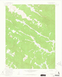
1958 Map of Topaz Mountain
USGS Topo · Published 1963About this map
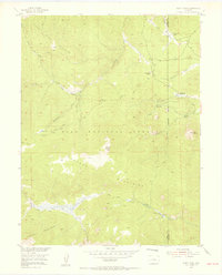
Kenosha Mountains and the Tarryall Mountains dominate this high-altitude landscape in the mid-1950s, defining a region of steep drainages and specialized mountain camps. The map documents the high-country economy of the era, where the Northup Lumber Camp and Lost Park Cow Camp served as functional hubs for timber and livestock within the Pike National Forest. Waterways like the North Fork South Platte River and the South Fork South Platte River carve through the terrain, fed by numerous gulches and springs such as Bonus Spring and Cabin Spring. Of particular interest to environmental historians is the Hourglass Burn, a clear scar on the slopes of Topaz Mountain that illustrates the impact of fire on this wilderness before the turn of the decade. The presence of Beaver Ponds along Beaver Creek further suggests the active natural hydrology of the area at the time of the survey.
Find a feature on this map
35 named features on this map. Tap any name to fly to it.
Don’t see what you’re looking for? This feature index may not catch every label — zoom into the map to look around manually.
Map Details
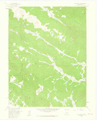
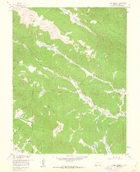
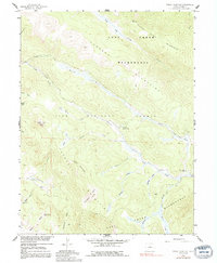
Editions of this 1958 Topaz Mountain Map
4 editions found
Other maps of this area

1893 · Platte Canyon
USGS Topo · 1:125,000

1945 · Bailey
USGS Topo · 1:24,000

1945 · Shawnee
USGS Topo · 1:24,000

1945 · Mount Logan
USGS Topo · 1:24,000

1948 · Mount Logan
USGS Topo · 1:24,000

1948 · Shawnee
USGS Topo · 1:24,000

1949 · Bailey
USGS Topo · 1:24,000

1953 · Denver
USGS Topo · 1:250,000
1954 · Windy Peak
USGS Topo · 1:24,000

1956 · Eagle Rock
USGS Topo · 1:24,000