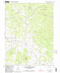
1958 Map of Observatory Rock
USGS Topo · Published 1991About this map
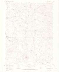
The ghost town of Bordenville serves as a central historical marker in this landscape, situated along the banks of Tarryall Creek. This mid-century survey captures the remote ranching character of Park County, where family holdings like the Miller Ranch, Johnston Ranch, and Coleman Ranch are connected by a network of gulches and springs. The terrain is dominated by the Pike National Forest and the Lost Creek Wilderness, protecting a complex geography of granite outcrops and narrow drainages. Notable landmarks such as Observatory Rock and Mud Hill overlook the valley floor, while the Bordenville Cem remains as a tangible link to the area's early settlement history. The map also traces established transportation routes like the Lost Park Road, providing a detailed look at the water sources—from Lone Chimney Spring to Porcupine Spring—that were vital for high-altitude ranching and survival in the Colorado front range.
Find a feature on this map
46 named features on this map. Tap any name to fly to it.
Don’t see what you’re looking for? This feature index may not catch every label — zoom into the map to look around manually.
Map Details
Editions of this 1958 Observatory Rock Map
7 editions found
Other maps of this area

1937 · Como
USGS Topo · 1:62,500

1945 · Shawnee
USGS Topo · 1:24,000

1945 · Mount Logan
USGS Topo · 1:24,000

1948 · Mount Logan
USGS Topo · 1:24,000

1948 · Shawnee
USGS Topo · 1:24,000

1953 · Denver
USGS Topo · 1:250,000

1956 · Eagle Rock
USGS Topo · 1:24,000

1956 · Elkhorn
USGS Topo · 1:24,000

1956 · Farnum Peak
USGS Topo · 1:24,000

1957 · Denver
USGS Topo · 1:250,000