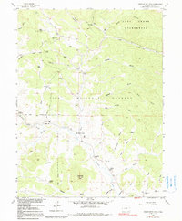
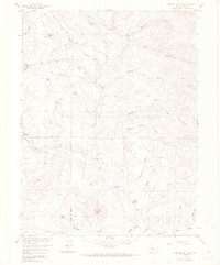
1958 Map of Observatory Rock
USGS Topo · Published 1991About this map
Bordenville represents a vanished era of settlement in the high country of Park County, where family ranching and early commerce once thrived along the Tarryall Creek valley. This 1958 field-checked survey reveals the footprints of historic operations like Johnston Ranch, Ingram Ranch, and Highfill Ranch, alongside more transient sites such as the Rock Creek Cow Camp. The landscape is a network of drainage gulches and springs, anchored by the prominent granite formation of Observatory Rock.
Find a feature on this map
54 named features on this map. Tap any name to fly to it.
Don’t see what you’re looking for? This feature index may not catch every label — zoom into the map to look around manually.
Map Details
Editions of this 1958 Observatory Rock Map
7 editions found
Other maps of this area

1937 · Como
USGS Topo · 1:62,500

1945 · Shawnee
USGS Topo · 1:24,000

1945 · Mount Logan
USGS Topo · 1:24,000

1948 · Mount Logan
USGS Topo · 1:24,000

1948 · Shawnee
USGS Topo · 1:24,000

1953 · Denver
USGS Topo · 1:250,000

1956 · Eagle Rock
USGS Topo · 1:24,000

1956 · Elkhorn
USGS Topo · 1:24,000

1956 · Farnum Peak
USGS Topo · 1:24,000

1957 · Denver
USGS Topo · 1:250,000