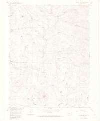
1958 Map of Observatory Rock
USGS Topo · Published 1972About this map
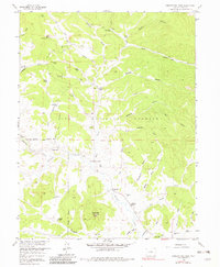
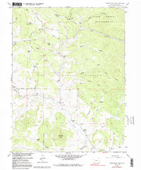
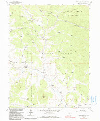
Observatory Rock stands as a prominent landmark in this high-elevation landscape within the Pike National Forest, where late 1950s ranching operations and early settlement sites are meticulously documented. The map details a network of family-held properties including Ingram Ranch, Johnston Ranch, and Miller Ranch, illustrating the dispersed pastoral economy of the era. A significant historical anchor is found at the Bordenville (Site), where the Bordenville Cem and a nearby Schoolhouse mark the remains of a once-active community hub along Tarryall Creek.
Find a feature on this map
45 named features on this map. Tap any name to fly to it.
Don’t see what you’re looking for? This feature index may not catch every label — zoom into the map to look around manually.
Map Details
Editions of this 1958 Observatory Rock Map
7 editions found
Other maps of this area

1937 · Como
USGS Topo · 1:62,500

1945 · Shawnee
USGS Topo · 1:24,000

1945 · Mount Logan
USGS Topo · 1:24,000

1948 · Mount Logan
USGS Topo · 1:24,000

1948 · Shawnee
USGS Topo · 1:24,000

1953 · Denver
USGS Topo · 1:250,000

1956 · Eagle Rock
USGS Topo · 1:24,000

1956 · Elkhorn
USGS Topo · 1:24,000

1956 · Farnum Peak
USGS Topo · 1:24,000

1957 · Denver
USGS Topo · 1:250,000