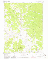
1958 Map of Observatory Rock
USGS Topo · Published 1982About this map
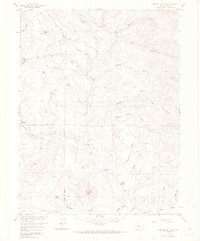
Tarryall Creek and Michigan Creek converge in this high-altitude landscape within the Pike National Forest, where late-1950s land use is defined by isolated ranches and rugged gulches. The settlement of Bordenville (Site) is recorded here, including the Bordenville Cem, indicating a community that once served this mountain valley. Family names are tied to the terrain through several working spreads, such as Ingram Ranch, Miller Ranch, and Highfill Ranch, while more temporary operations like the Rock Creek Cow Camp appear near the Beaver Ponds. The prominent Observatory Rock stands as a primary landmark above Swiggler Gulch, overlooking a network of jeep trails and historic paths like the Lost Park Road that navigated the basin before modern development reached this part of the Front Range.
Find a feature on this map
57 named features on this map. Tap any name to fly to it.
Don’t see what you’re looking for? This feature index may not catch every label — zoom into the map to look around manually.
Map Details
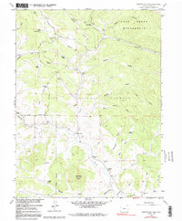
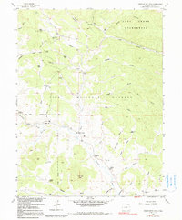
Editions of this 1958 Observatory Rock Map
7 editions found
Other maps of this area

1937 · Como
USGS Topo · 1:62,500

1945 · Shawnee
USGS Topo · 1:24,000

1945 · Mount Logan
USGS Topo · 1:24,000

1948 · Mount Logan
USGS Topo · 1:24,000

1948 · Shawnee
USGS Topo · 1:24,000

1953 · Denver
USGS Topo · 1:250,000

1956 · Eagle Rock
USGS Topo · 1:24,000

1956 · Elkhorn
USGS Topo · 1:24,000

1956 · Farnum Peak
USGS Topo · 1:24,000

1957 · Denver
USGS Topo · 1:250,000