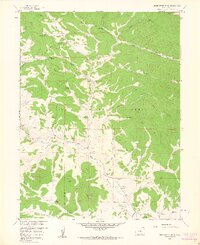
1958 Map of Observatory Rock
USGS Topo · Published 1959About this map
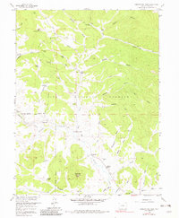
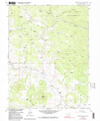
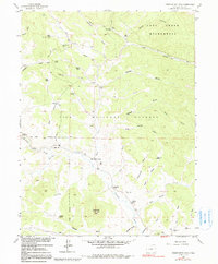
Tarryall Creek meanders through the central valley of this 1958 survey, serving as a lifeline for a network of cattle ranches established during the mid-century. The landscape is defined by the transition from the sheltered flats of Lost Park to the high timber of the Pike National Forest. Evidence of early community life is centered near the Bordenville (Site), where a Bordenville Cem and a lone Schoolhouse remain as markers of a more active settlement period. The geography is characterized by numerous seasonal drainages such as Graveyard Gulch and Old House Gulch, which feed into the main creek system.
Find a feature on this map
43 named features on this map. Tap any name to fly to it.
Don’t see what you’re looking for? This feature index may not catch every label — zoom into the map to look around manually.
Map Details
Editions of this 1958 Observatory Rock Map
7 editions found
Other maps of this area

1937 · Como
USGS Topo · 1:62,500

1945 · Shawnee
USGS Topo · 1:24,000

1945 · Mount Logan
USGS Topo · 1:24,000

1948 · Mount Logan
USGS Topo · 1:24,000

1948 · Shawnee
USGS Topo · 1:24,000

1953 · Denver
USGS Topo · 1:250,000

1956 · Eagle Rock
USGS Topo · 1:24,000

1956 · Elkhorn
USGS Topo · 1:24,000

1956 · Farnum Peak
USGS Topo · 1:24,000

1957 · Denver
USGS Topo · 1:250,000