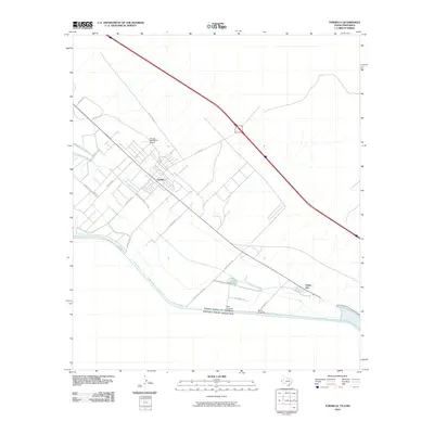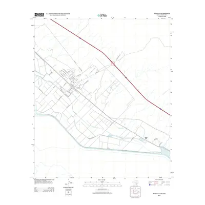
1985 Map of Tornillo
USGS Topo · Published 1985About this map
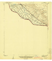
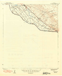
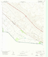
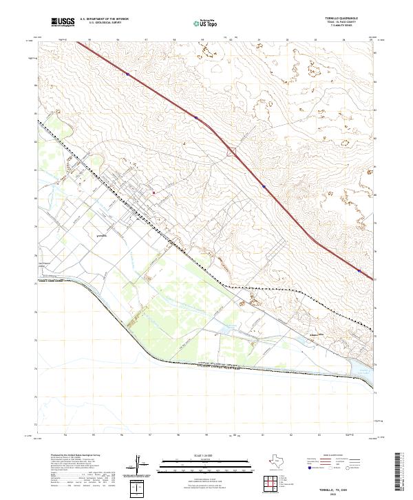
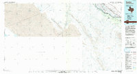
San Elizario Island defines the agricultural and international character of this section of the El Paso Valley during the mid-1980s. The landscape is dominated by a complex network of irrigation infrastructure, including the San Elizario Island Canal, Tornillo Canal, and Island Canal, which draw from the Rio Grande to support the local farming economy. This planimetric survey illustrates how the international boundary between the United States and Mexico follows the river's course, bordering the settlements of Fabens, Tornillo, and Alamo Alto. Transportation through this borderland is anchored by two major rail lines, the Southern Pacific and Missouri Pacific, which run parallel to the valley's primary transit corridors. The presence of multiple Gaging Stations along the water routes underscores the critical management of the river in this arid environment.
Find a feature on this map
19 named features on this map. Tap any name to fly to it.
Don’t see what you’re looking for? This feature index may not catch every label — zoom into the map to look around manually.
Map Details
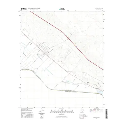
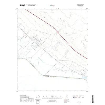
Editions of this 1985 Tornillo Map
2 editions found
Historical Maps of Tornillo Through Time
9 maps found