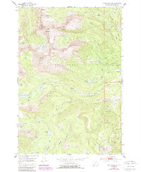
1952 Map of Torrey Mountain
USGS Topo · Published 1989About this map
Beaverhead National Forest encompasses this high-altitude landscape in the Pioneer Mountains as it was documented in the early 1950s and updated in the 1980s. The area is defined by sharp peaks such as Tweedy Mountain and Torrey Mountain, which shadow a network of glacial lakes including Gorge Lakes, Glacier Lake, and Pear Lake. The presence of Winkley Camp and a Flume near DuBois Creek suggests a history of seasonal work or resource management in these upper reaches.
Find a feature on this map
49 named features on this map. Tap any name to fly to it.
Don’t see what you’re looking for? This feature index may not catch every label — zoom into the map to look around manually.
Map Details
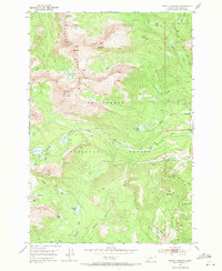
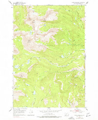
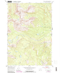
Editions of this 1952 Torrey Mountain Map
5 editions found
Other maps of this area

1893 · Dillon
USGS Topo · 1:250,000

1952 · Twin Adams Mountain
USGS Topo · 1:24,000

1952 · Argenta
USGS Topo · 1:24,000

1952 · Torrey Mountain
USGS Topo · 1:24,000

1952 · Ermont
USGS Topo · 1:24,000

1955 · Dillon
USGS Topo · 1:250,000

1957 · Dillon
USGS Topo · 1:250,000

1958 · Dillon
USGS Topo · 1:250,000

1958 · Vipond Park
USGS Topo · 1:62,500

1959 · Polaris
USGS Topo · 1:62,500