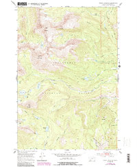
1952 Map of Torrey Mountain
USGS Topo · Published 1989About this map
Pioneer Mountains terrain dominates this 1950s survey, showcasing the high-elevation wilderness within the Beaverhead National Forest. This landscape is defined by massive peaks, including Tweedy Mountain, which reaches over 11,000 feet, and its neighbor Torrey Mountain. The presence of Mast Ditch and an Inactive Mine near the eastern boundary suggests early industrial efforts to manage water and extract minerals from these slopes.
Find a feature on this map
46 named features on this map. Tap any name to fly to it.
Don’t see what you’re looking for? This feature index may not catch every label — zoom into the map to look around manually.
Map Details
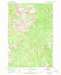
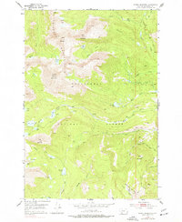
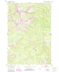
Editions of this 1952 Torrey Mountain Map
5 editions found
Other maps of this area

1893 · Dillon
USGS Topo · 1:250,000

1952 · Twin Adams Mountain
USGS Topo · 1:24,000

1952 · Argenta
USGS Topo · 1:24,000

1952 · Torrey Mountain
USGS Topo · 1:24,000

1952 · Ermont
USGS Topo · 1:24,000

1955 · Dillon
USGS Topo · 1:250,000

1957 · Dillon
USGS Topo · 1:250,000

1958 · Dillon
USGS Topo · 1:250,000

1958 · Vipond Park
USGS Topo · 1:62,500

1959 · Polaris
USGS Topo · 1:62,500