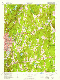
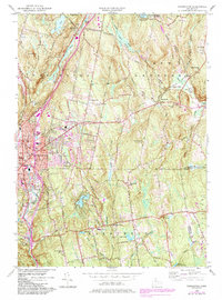
1956 Map of Torrington
USGS Topo · Published 1958About this map
The industrial and residential center of Torrington dominates the western landscape of this mid-century survey, showing the city's dense grid expanding toward Besse Park and the Wolcott Sch. The New York New Haven and Hartford railroad line follows the course of the Still River, serving as a primary corridor for the region's transport and industry. To the east, the terrain transitions into the wooded uplands of Paugnut State Forest and the rural hills of Harwinton.
Find a feature on this map
58 named features on this map. Tap any name to fly to it.
Don’t see what you’re looking for? This feature index may not catch every label — zoom into the map to look around manually.
Map Details
Editions of this 1956 Torrington Map
5 editions found
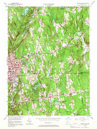
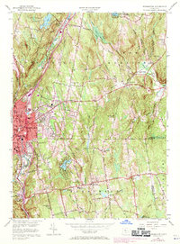
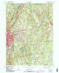
Other maps of this area

1892 · Winsted
USGS Topo · 1:62,500

1892 · Meriden
USGS Topo · 1:62,500

1892 · Granby
USGS Topo · 1:62,500

1893 · Waterbury
USGS Topo · 1:62,500

1893 · Meriden
USGS Topo · 1:62,500

1904 · Waterbury
USGS Topo · 1:62,500

1904 · Litchfield
USGS Topo · 1:125,000

1906 · Farmington
USGS Topo · 1:125,000

1946 · Bristol
USGS Topo · 1:31,680

1947 · Hartford
USGS Topo · 1:250,000