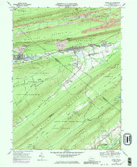
1969 Map of Tower City
USGS Topo · Published 1986About this map
Tower City and Williamstown anchor this mid-century topographic view of the anthracite coal region, where the industrial landscape of the late 1960s is defined by extensive extraction activity. The terrain between Bear Mountain and Stony Mountain is heavily scarred by numerous strip mines, mines, and prominent mine dumps, reflecting the area's deep-rooted mining economy. Smaller settlements like Reinerton, Orwin, and Muir line the valley floor along Wiconisco Creek.
Find a feature on this map
78 named features on this map. Tap any name to fly to it.
Don’t see what you’re looking for? This feature index may not catch every label — zoom into the map to look around manually.
Map Details
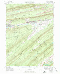
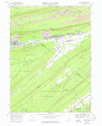
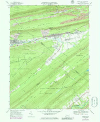
Editions of this 1969 Tower City Map
4 editions found
Other maps of this area

1891 · Lebanon
USGS Topo · 1:62,500

1892 · Lykens
USGS Topo · 1:62,500

1892 · Hummelstown
USGS Topo · 1:62,500

1892 · Pine Grove
USGS Topo · 1:62,500

1893 · Lykens
USGS Topo · 1:62,500

1893 · Lebanon
USGS Topo · 1:62,500

1899 · Lebanon
USGS Topo · 1:62,500

1924 · Hummelstown
USGS Topo · 1:62,500

1943 · Lebanon
USGS Topo · 1:62,500

1943 · Lykens
USGS Topo · 1:62,500
Featured Places
- Hegins Township, PA
- Williamstown, PA
- Tower City, Porter Township
- Jackson Township, PA
- Jefferson Township, PA