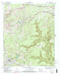
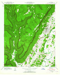
1947 Map of Tracy City
USGS Topo · Published 1984About this map
Tracy City and the surrounding mining country of the Cumberland Plateau are captured here during a period of industrial transition. The landscape is heavily marked by strip mine operations and an oil well, reflecting the extraction economy that shaped these Grundy and Marion communities. The Tennessee Valley Divide snakes through the topography, separating the waters of the Little Sequatchie River from the northern drainages.
Find a feature on this map
81 named features on this map. Tap any name to fly to it.
Don’t see what you’re looking for? This feature index may not catch every label — zoom into the map to look around manually.
Map Details
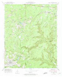
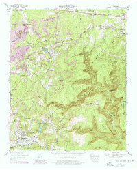
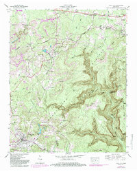
Editions of this 1947 Tracy City Map
4 editions found
Other maps of this area

1895 · Sewanee
USGS Topo · 1:125,000

1936 · Palmer
USGS Topo · 1:24,000

1936 · Whitwell
USGS Topo · 1:24,000

1936 · Burrow Cove
USGS Topo · 1:24,000

1936 · Tracy City
USGS Topo · 1:24,000

1936 · Monteagle
USGS Topo · 1:24,000

1936 · White City
USGS Topo · 1:24,000

1936 · Cane Hollow
USGS Topo · 1:24,000

1943 · Mc Minnville
USGS Topo · 1:100,000
1946 · Whitwell
USGS Topo · 1:24,000