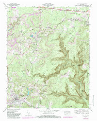
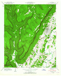
1947 Map of Tracy City
USGS Topo · Published 1984About this map
Tracy City sits at the base of this mid-century portrait of the Cumberland Plateau, where industrial activity and mountain settlements define the landscape. The Tennessee Valley Divide snakes across the northern half of the sheet, separating the waters of Big Creek Lake from the deep drainages of the Little Sequatchie River. This topography heavily influenced the rail and road patterns of the era, notably the Seaboard Valley line that connects coal-mining hubs like Coalmont to the larger centers below the plateau rim.
Find a feature on this map
81 named features on this map. Tap any name to fly to it.
Don’t see what you’re looking for? This feature index may not catch every label — zoom into the map to look around manually.
Map Details
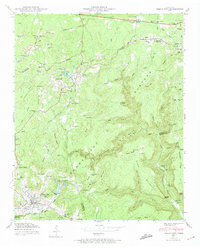
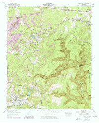
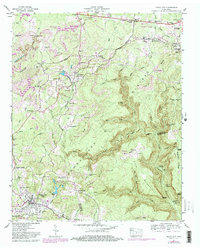
Editions of this 1947 Tracy City Map
4 editions found
Other maps of this area

1895 · Sewanee
USGS Topo · 1:125,000

1936 · Palmer
USGS Topo · 1:24,000

1936 · Whitwell
USGS Topo · 1:24,000

1936 · Burrow Cove
USGS Topo · 1:24,000

1936 · Tracy City
USGS Topo · 1:24,000

1936 · Monteagle
USGS Topo · 1:24,000

1936 · White City
USGS Topo · 1:24,000

1936 · Cane Hollow
USGS Topo · 1:24,000

1943 · Mc Minnville
USGS Topo · 1:100,000
1946 · Whitwell
USGS Topo · 1:24,000