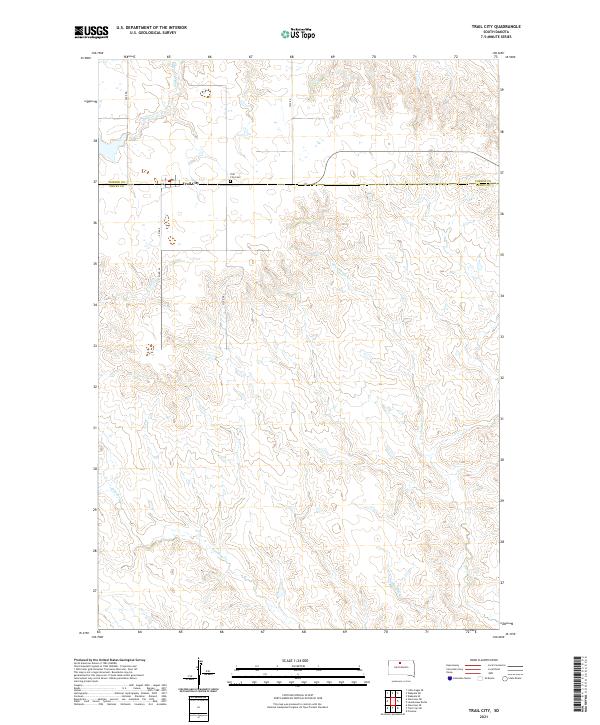
2021 Map of Trail City
USGS Topo · Published 2021About this map
Trail City sits on the high prairie at the border of Dewey and Corson counties, serving as a focal point for this expansive agricultural landscape. This 2021 update to the local topography shows a community defined by its proximity to the rural road network, including Co Rd 9 and Lake Rd. The local infrastructure remains vital to the area, evidenced by the Po and the nearby Trail City Cem. The surrounding terrain is dissected by numerous drainage systems, such as Snake Cr to the north and the winding paths of Du Charme Cr and Handboy Cr further south. These drainages reveal the gradual erosion of the Missouri River plateau, creating a complex series of coulees and ridges that dictate the placement of local thoroughfares like Twp Rd. The map illustrates a modern continuation of the region's long-standing ranching and farming traditions.
Find a feature on this map
18 named features on this map. Tap any name to fly to it.
Don’t see what you’re looking for? This feature index may not catch every label — zoom into the map to look around manually.
Map Details
Editions of this 2021 Trail City Map
This is the sole edition of this map. No revisions or reprints were ever made.
Other maps of this area

1951 · Promise
USGS Topo · 1:24,000

1952 · Trail City SW
USGS Topo · 1:24,000

1952 · Glencross SE
USGS Topo · 1:24,000

1953 · McIntosh
USGS Topo · 1:250,000

1956 · Wakpala SE
USGS Topo · 1:24,000

1956 · Little Eagle SE
USGS Topo · 1:24,000

1956 · Wakpala SW
USGS Topo · 1:24,000

1958 · McIntosh
USGS Topo · 1:250,000

1975 · Laundreaux Butte
USGS Topo · 1:24,000

1975 · Trail City
USGS Topo · 1:24,000