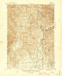
1943 Map of Trail
USGS Topo · Published 1945About this map
The Rogue River dominates this mid-century landscape, winding south from its confluence with Canyon Creek past the settlement of Trail and down toward Shady Cove. In the southern portion of the sheet, the Camp White Military Reservation occupies a significant portion of the Sams Valley floor, illustrating the region's mobilization during the war years. This area shows a mix of established ranching and nascent military use, with family names preserved at Drake Ranch, Yunkers Ranch, and Cliff Ranch.
Find a feature on this map
59 named features on this map. Tap any name to fly to it.
Don’t see what you’re looking for? This feature index may not catch every label — zoom into the map to look around manually.
Map Details
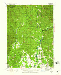
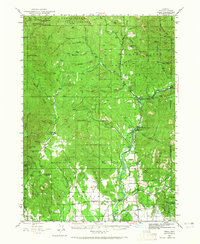
Editions of this 1943 Trail Map
4 editions found
Other maps of this area

1891 · Ashland
USGS Topo · 1:250,000

1893 · Ashland
USGS Topo · 1:250,000

1897 · Ashland
USGS Topo · 1:250,000

1904 · Riddle
USGS Topo · 1:125,000

1908 · Grants Pass
USGS Topo · 1:125,000

1938 · Medford
USGS Topo · 1:125,000

1943 · Trail
USGS Topo · 1:62,500

1944 · Tiller
USGS Topo · 1:62,500

1944 · Abbott Butte
USGS Topo · 1:62,500

1947 · Abbott Butte
USGS Topo · 1:62,500