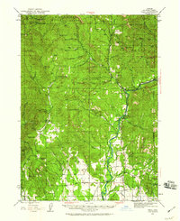
1943 Map of Trail
USGS Topo · Published 1959About this map
The Rogue River carves a deep path through Jackson County, anchoring a landscape where wartime military expansion met established mountain ranching in the 1940s. The southern portion of the map is dominated by the Camp White Military Reservation, a significant training facility that transformed the local geography during the war years. To the north, the terrain rises into the Rogue River National Forest, where isolated outposts like Chicago Cabin and the Walpole settlement sit along the Cleveland Creek Trail.
Find a feature on this map
68 named features on this map. Tap any name to fly to it.
Don’t see what you’re looking for? This feature index may not catch every label — zoom into the map to look around manually.
Map Details
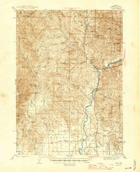
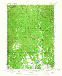
Editions of this 1943 Trail Map
4 editions found
Other maps of this area

1891 · Ashland
USGS Topo · 1:250,000

1893 · Ashland
USGS Topo · 1:250,000

1897 · Ashland
USGS Topo · 1:250,000

1904 · Riddle
USGS Topo · 1:125,000

1908 · Grants Pass
USGS Topo · 1:125,000

1938 · Medford
USGS Topo · 1:125,000

1943 · Trail
USGS Topo · 1:62,500

1944 · Tiller
USGS Topo · 1:62,500

1944 · Abbott Butte
USGS Topo · 1:62,500

1947 · Abbott Butte
USGS Topo · 1:62,500