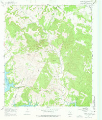
1966 Map of Travis Peak
USGS Topo · Published 1977About this map
The limestone uplands of the Texas Hill Country define this mid-1960s landscape, where the Burnet and Williamson county lines converge with Travis County. Significant relief is evident across the central portion of the sheet, marked by summits like Boultinghouse Mountain, Bald Mountain, and Chalk Knob. The drainage pattern consists of steep-walled valleys such as Flatrock Hollow and Devils Hollow feeding into the winding path of Cow Creek.
Find a feature on this map
33 named features on this map. Tap any name to fly to it.
Don’t see what you’re looking for? This feature index may not catch every label — zoom into the map to look around manually.
Map Details
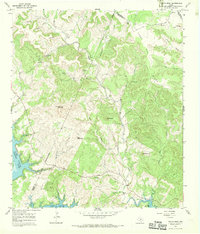
Editions of this 1966 Travis Peak Map
2 editions found
Other maps of this area

1887 · Blanco
USGS Topo · 1:125,000

1887 · Burnet
USGS Topo · 1:125,000

1893 · Georgetown
USGS Topo · 1:125,000

1893 · Burnet
USGS Topo · 1:125,000

1894 · Blanco
USGS Topo · 1:125,000

1896 · Austin
USGS Topo · 1:125,000

1897 · Austin
USGS Topo · 1:125,000

1903 · Burnet
USGS Topo · 1:125,000

1909 · Burnet
USGS Topo · 1:125,000

1910 · Austin
USGS Topo · 1:125,000