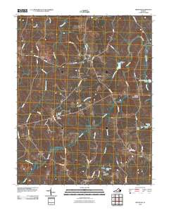
2010 Map of Trenholm
USGS Topo · Published 2010About this map
Trenholm and the surrounding rural landscapes of Powhatan County define this 2010 survey, illustrating a community structured by historic crossroads and a complex network of waterways. Small settlements such as Belona, Hatchers, and Smiths Crossroads are connected by namesake thoroughfares like Ballsville Rd and Trenholm Rd. The local economy and geography are tied to the drainage basins of Deep Creek and Muddy Creek, with man-made water features like Bevins Pond Dam and Redford Dam indicating persistent water management in this agricultural region. Genealogists and historians can trace the paths of long-standing local arteries, including Frenchs Store Rd and Old Tavern Rd, which intersect the creeks and branches that have likely shaped land ownership patterns for generations.
Find a feature on this map
46 named features on this map. Tap any name to fly to it.
Don’t see what you’re looking for? This feature index may not catch every label — zoom into the map to look around manually.
Map Details
Editions of this 2010 Trenholm Map
This is the sole edition of this map. No revisions or reprints were ever made.
Other maps of this area

1890 · Goochland
USGS Topo · 1:125,000

1891 · Palmyra
USGS Topo · 1:125,000

1891 · Farmville
USGS Topo · 1:125,000

1892 · Goochland
USGS Topo · 1:125,000

1893 · Farmville
USGS Topo · 1:125,000

1895 · Palmyra
USGS Topo · 1:125,000

1897 · Amelia
USGS Topo · 1:125,000

1897 · Palmyra
USGS Topo · 1:125,000

1943 · Goochland
USGS Topo · 1:31,680

1943 · Powhatan
USGS Topo · 1:31,680